SHOWERS, BUT MUCH PASSES US BY

Updated Wed 07:32 PM — Updated with latest HIREF model showing showers mostly to the east, not west.

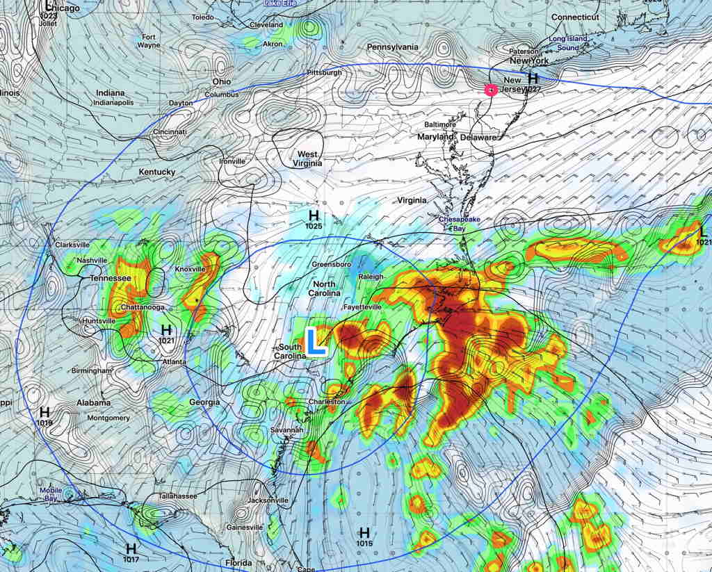
Earlier this week, I mentioned that the closed, cut off upper air low pressure system might linger and that appears to be the case; it appears that it will affect our weather through at least Saturday.

The problem with all closed cut off upper lows is that the associated precipitation is difficult to accurately model and predict. So far this week, the models haven’t done all that well with the cloud cover prediction either.

So with that backdrop, I’m still tempted to try to talk about the showers over the next few days.

At least for tomorrow, Thursday, the models are suggesting we may get some much needed showers in the morning.

HIREF model precip forecast for 8 AM Thursday. (Click on image for a larger view.)


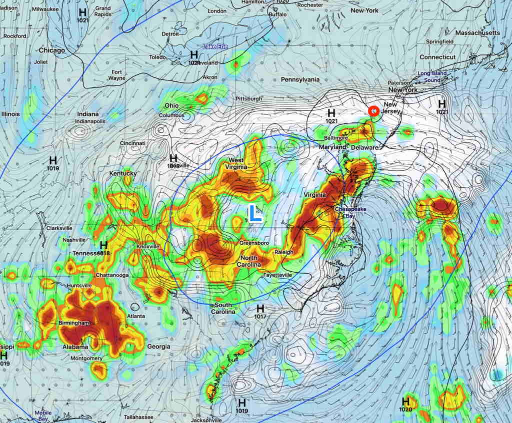
Same time tomorrow, different forecast:

GFS Precip forecast Thursday 8 AM  (Click on image for a larger view.)

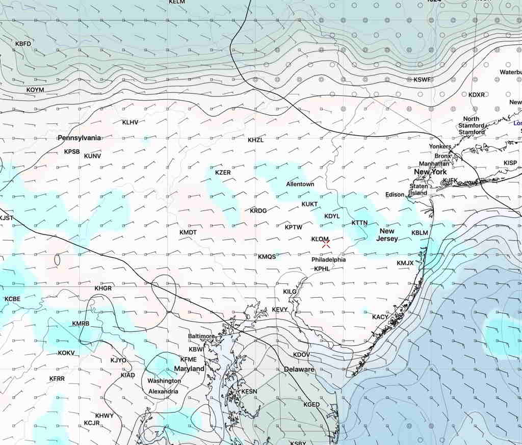
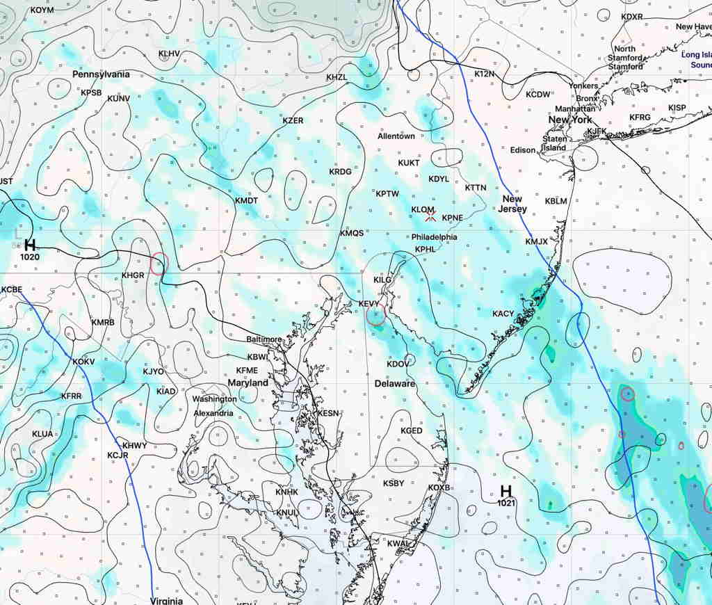
However, the models are also predicting that any precipitation will be light and most of the showers will be west east of the immediate PHL area.   Our area gets less than 0.1 inches

So you’ll probably have to water your lawn soon if the models are correct about this.

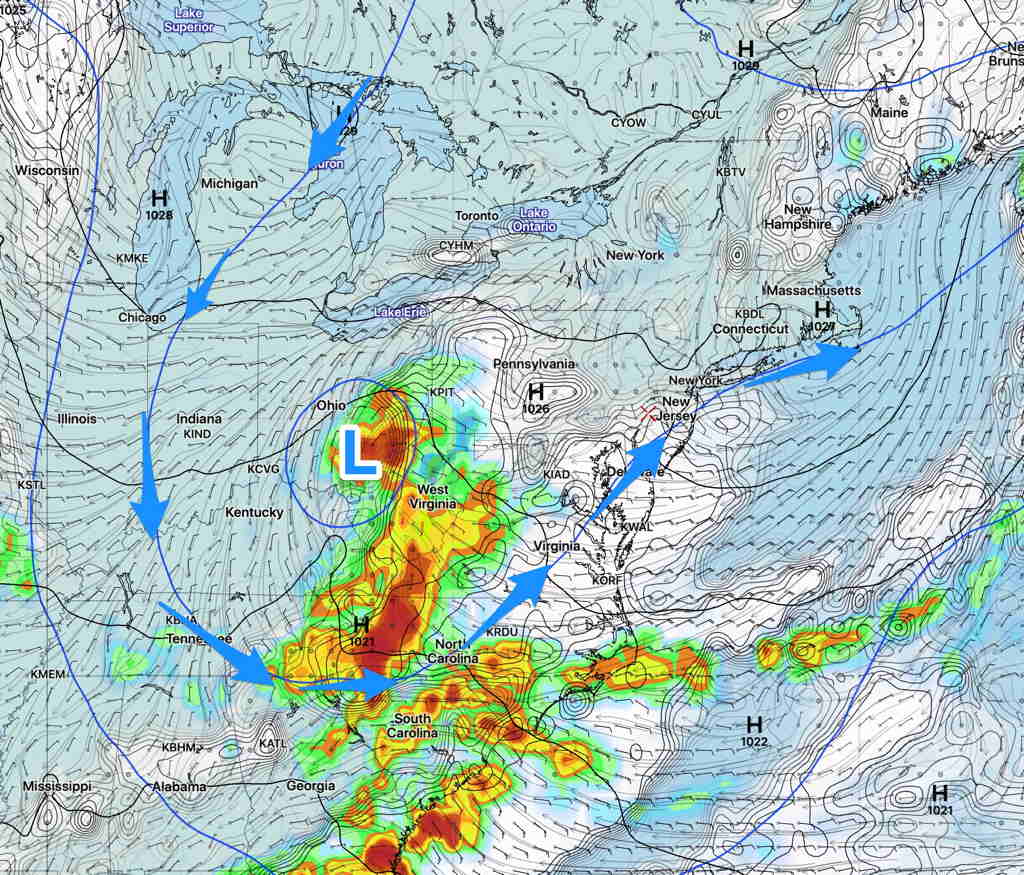
There’s a somewhat greater chance of showers on Friday and Saturday, but again, the majority of the precipitation may miss the immediate PHL area.  I’m hedging here…upper cut off lows are tough to forecast.

WEEK WEATHER OUTLOOK

The closed upper low formed as expected.  This upper air feature will persist until at least Thursday.

GFS forecast for Tuesday 4 PM showing upper air closed low circulation (blue lines). Clouds extend just into the Philadelphia area (white shading)   (Click on image for a larger view.)

An easterly flow will bring increasing cloudiness as the week progresses.  High clouds on Monday will progress to variable amounts of middle and lower clouds Tuesday through Thursday.

An easterly flow will keep temperatures very cool for June, in the mid 70s.

As mentioned, the movement and weather associated with slow moving closed upper low circulations are difficult to forecast.  The forecast has already changed—the latest model forecast has this circulation remaining intact, instead of opening and lifting out Thursday.

GFS Forecast (clouds, convective precip) Thursday 2 PM  (Click on image for a larger view.)

Various models predict differing amounts of cloud cover each day.  We likely won’t see any rain until Thursday, but that may change too.   Even more uncertainty in the longer range, Friday through Sunday.

WEEKEND WEATHER FORECAST

A beautiful weekend is on tap as surface high pressure will bring fair weather both Saturday and Sunday.  Winds out of the the northeast will keep the humidity down as well.

The upper air pattern  this weekend is an exaggerated trough which will amplify and  ‘pinch off’ a closed low over Ohio by Sunday evening.

Cool temps and cloudiness, possibly some light showers will be the rule next week.   The slow movement of upper closed lows are difficult to forecast  exactly.  The amount and timing of the clouds late Sunday afternoon will be difficult to pin down.

Saturday—

  • Fair skies, occasional fair weather clouds
  • Cool. High temp 74.0 sd 2.0
  • Winds ENE very light 3-10 mph

Sunday —

  • Fair skies.  Late afternoon, some cloudiness will try to move in from the south.
  • Cool. High temp 75.0 sd 2.0
  • Winds ENE very light 6-10 mph with some higher gusts
GFS forecast Sunday 7 PM showing closed upper low over Ohio  (Click on image for a larger view.)