Tag Archives: Cold Air Damming

MONDAY WINTER WEATHER OUTLOOK

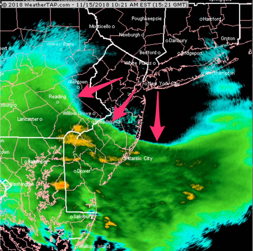
A winter-time precipitation scenario is setting up for our area on Monday.

A front moving through this weekend will return as a warm front, but with over-running precipitation and cold air damming.

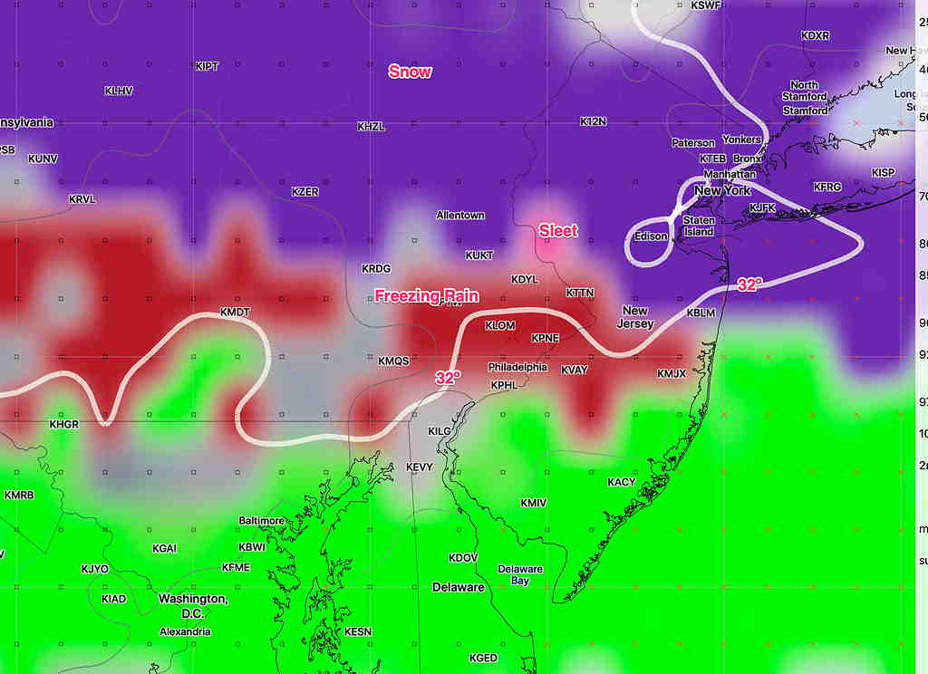
What was originally forecast to be a quick change from light snow to rain has evolved into a “cold air damming” scenario where cold air trapped at the surface likely will result in a prolonged period of sleet or freezing rain. (The models are showing mostly freezing rain.)  The GFS also shows some dynamic cooling- as the precip increases, the surface temperatures drop.

Some amount of wintry mix may be falling into the late afternoon and longer north and west of the city.

The QPF is expected to be light and the predicted snow accumulation is about 0.5 inches, but the prolonged freezing rain possibility may present a travel issue.

GFS Categorical Precipitation type for 2 PM on Monday. Click for larger image

The ‘event’ is more than 50 hours in the future time frame.  The higher resolution models, with the exception of the NAM NEST, only predict 36-48 hours in the future.

These things are tricky to forecast.  In our area, the models tend to under-predict the duration of the mix precip.

Stay tuned.


WINTER WEATHER UPDATE -SATURDAY

I’ve been looking at the latest GFS and NAM models from this morning. Sunday night into Tuesday promises some interesting (at least for this season) winter weather.

Two systems will affect us, one Sunday evening and the other starts Monday evening. The first approaches Sunday with light snow developing sometime during the evening and ends early morning Monday.

There are differences in the models with the QPF.  The NAM is showing 0.23 inches water, the GFS less. With the prior two winter weather events, the NAM out-performed the GFS.   So it appears that 2, possibly 3 inches of snow will have accumulated when it ends Monday morning.

Monday will be mostly cloudy as another more intense storm moves to our west.  Cold air in place at the surface with warm, moist air over-running the the cold air will result in snow initially.

The GFS has the snow starting early on Monday evening.  Critical temperatures in the upper atmosphere warm by 3-5 AM Tuesday morning, with the snow changing to sleet and freezing rain at that time.  It’s possible that 3-4 inches of snow will have accumulated before the changeover.

Surface temperatures may remain at or below freezing until 7 AM Tuesday, so things will be icy and messy Tuesday morning.

North and west of the city, the freezing rain and sleet may be prolonged into late morning.

By noon on Tuesday everything should have transitioned to all rain.   This looks messy and the temperature profiles and QPF predictions will likely change in the next few days.  Stay tuned.

WEATHER UPDATE THURS AM

[su_note note_color=”#d9f2da”]Thurs Noon update: Wow, more snow than I had forecast! The low level atmosphere temperatures are at or below freezing. The NAM upper atmosphere critical thickness level seems to have fooled me this time around. It works in the winter, apparently not in November.    😱         I’ll make a note of it!

So, let’s try this again. Based on the latest NBM (which I’ve been ignoring, except for the precipitation start time), the changeover to sleet and then rain will occur about 1 -2 PM in PHL.    This is a tough business.

[/su_note]

Based on the latest NAM and NBM model data, the forecast from last night is on track.

Precipitation is moving in, as shown on radar, at 10:30 AM.  On this radar image, it’s easy to see how the precipitation is hitting a wall of cold air, eroded at the northern edges—

Radar Thurs 10:20 AM, courtesy of Weathertap.com

This is a sleet to rain event, with some snowflakes possible at the start.   The latest NAM supports the possibility of a brief change to snow before daybreak Friday.  (Little or no accumulation.)