
[su_note note_color=”#ffffff”]Updated Sat 08:23 AM — Clouds are beginning to thin out.
The most recent Model Blend (NBM) still shows scattered showers/thunderstorms between 3 PM -6 PM today, although not all models are on-board with this. High temp 87.2º sd 2.8º (high spread)
[/su_note]
[su_note note_color=”#ffffff”]Updated Fri 10:34 PM —Tonight’s major models just becoming available.
Some refinements in the Saturday forecast—
Some clouds very early morning, break for sunshine through high clouds.
A secondary cold front moves through late afternoon. The models predict a narrow and small area of showers/thunderstorms and clouds moving through between 3 and 6 PM, dissipating as it moves east. [/su_note]
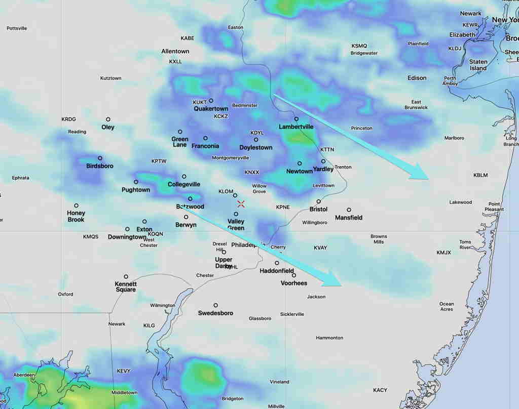
The main thunderstorm complex moved in an hour or so earlier than forecast, but that’s about as good as the models can get.
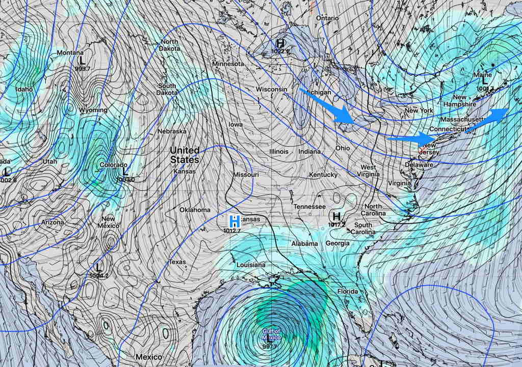
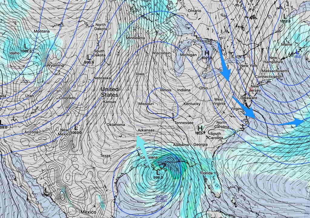
This weekend’s weather will be influenced by a building upper trough (blue arrows) and to some indirect extent, tropical storm Cristobal in the Gulf. (For reasons I don’t understand, tropical storm/hurricane presence seems to affect model forecast accuracy; something just to keep in mind.)
Saturday will be a mostly sunny. A weak upper air disturbance moves through about 3 PM; some high resolution models have some sprinkles possible, but other models do not.
Saturday—
- Mostly sunny. Somewhat more clouds in the mid afternoon
- Light sprinkles possible about 3 PM, but chances are low.
- High Temp 86.8º sd 2.8º
- Winds NW 5-10 mph gusts to 17
Sunday will continue to be influenced by this upper trough. Sunny, dry and cool temperatures expected.
- Sunny
- Cool High Temp 77.6º
- Somewhat windy NNW 10-12 mph gusts to 19