The HIRESW “High RESolution Window is a relatively new model that is being actively developed by NOAA. There are actually several versions. Beginning May 11th, these new models will become operational: the HIRESW, the HIRESW-ARW-MEM2 and the HIRESW-FV3.
The HIRESW forecasts out to 48 hours. The new HIRESW-FV3 forecasts out to 60 hours. The are run twice a day.
Additionally, there will be a new, updated statistical “ensemble” version, the HREF (HIgh Resolution Ensemble Forecast model). The HREF is a model based on statistical averages/means of several different models, the RAP, HRRR, and the HIRESW versions combined with some time-lagged versions to even out model run variances. The HREF is run 4x daily
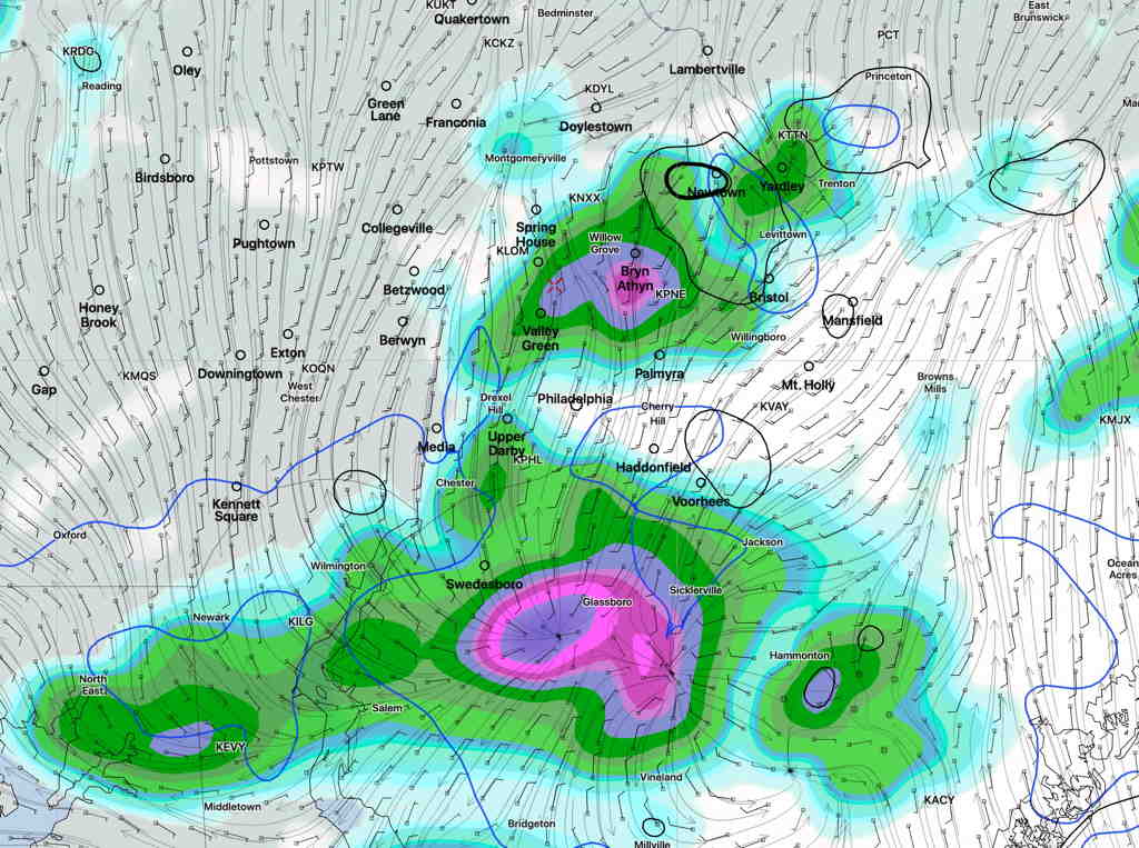
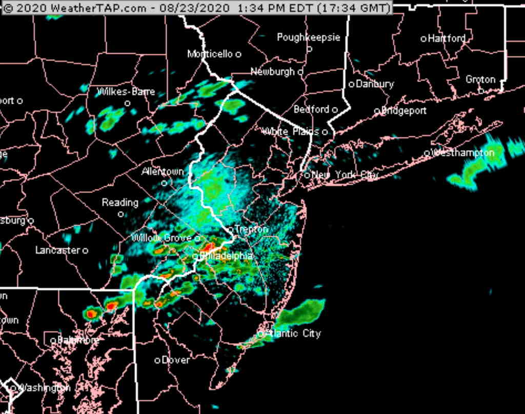
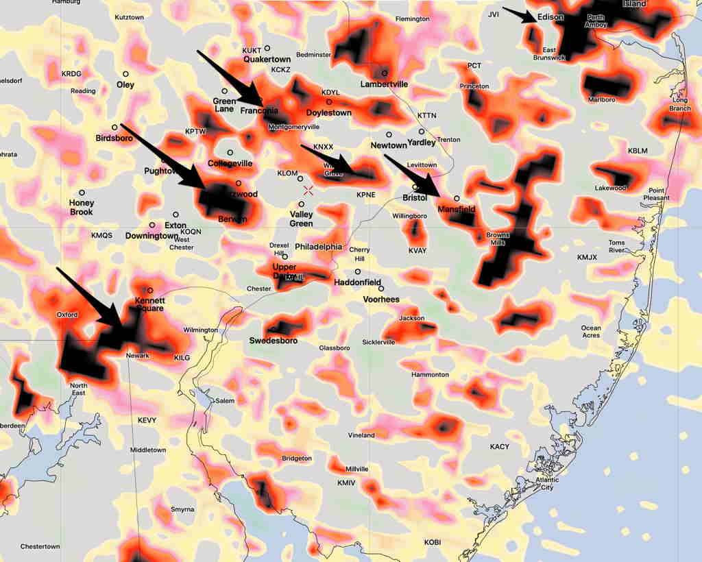
Update Wed 10:08 PM – The weak cold front never made it south this evening. Nor did any thunderstorms. Thursday’s high will likely be near 80°. Currently, the main cold front will move through late Thursday. Most models are keeping the main storm activity to our north and through central Pennsylvania on Thursday. However, tonight’s HIRESW-ARW shows some thunderstorm activity mid morning and again about 5pm Thursday in our area.
While this is primarily a “weekend weather” site, looking at the weather models is my daily crossword puzzle.
I couldn’t help but notice that there’s been a major shift in the model forecast over this past day and some of the TV media forecasts have not updated their forecasts.
Originally, Wednesday and Thursday were to be very warm days, with many of the on-air forecasts talking about record high temperatures, especially Thursday.
The models forecasts have shifted this afternoon – a cold front will slide down during the day Wednesday, a day earlier than previously expected. Showers and thunderstorms will break out, especially Wednesday evening. The models have most of the energy to our north and to our south, so right now, any thunderstorms are not expected to be severe in the immediate PHL area.
High temperatures in the 80’s Wednesday may not make it out of the low 70’s on Thursday (a huge change in the forecast). (The latest GFS model has high temperatures in the 60s Thursday!)
The front may get hung up just south of our area, causing showers on Thursday.
We now return you to your regularly scheduled programming…