
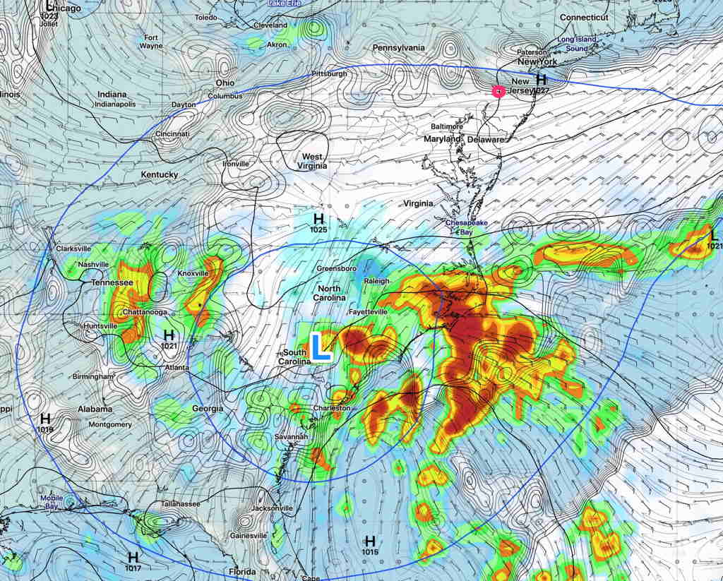
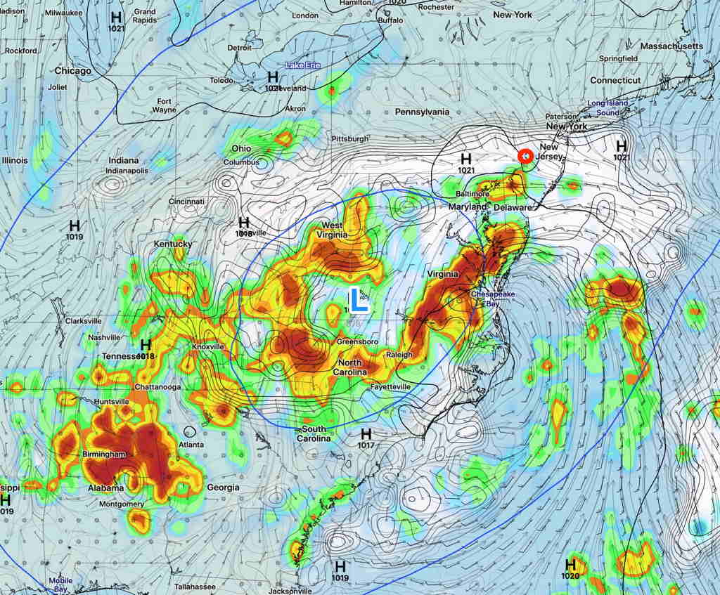
The closed upper low formed as expected. This upper air feature will persist until at least Thursday.
An easterly flow will bring increasing cloudiness as the week progresses. High clouds on Monday will progress to variable amounts of middle and lower clouds Tuesday through Thursday.
An easterly flow will keep temperatures very cool for June, in the mid 70s.
As mentioned, the movement and weather associated with slow moving closed upper low circulations are difficult to forecast. The forecast has already changed—the latest model forecast has this circulation remaining intact, instead of opening and lifting out Thursday.
Various models predict differing amounts of cloud cover each day. We likely won’t see any rain until Thursday, but that may change too. Even more uncertainty in the longer range, Friday through Sunday.