
Happy New Year!
I got up this morning and saw the clouds and even some very light snow flurries. Last night’s models did not show these clouds or flurries. Nor did the higher resolution just-run hourly models like the HRRR or RAP show it.
Did the models capture anything that could explain the weather this morning?
They did, but apparently the model’s algorithms didn’t translate a strong upper air disturbance and moisture into the clouds and flurries that we have.
Last night’s GFS shows a strong area of vorticity (“an upper air disturbance”) passing through along with increased moisture in the upper and mid levels.
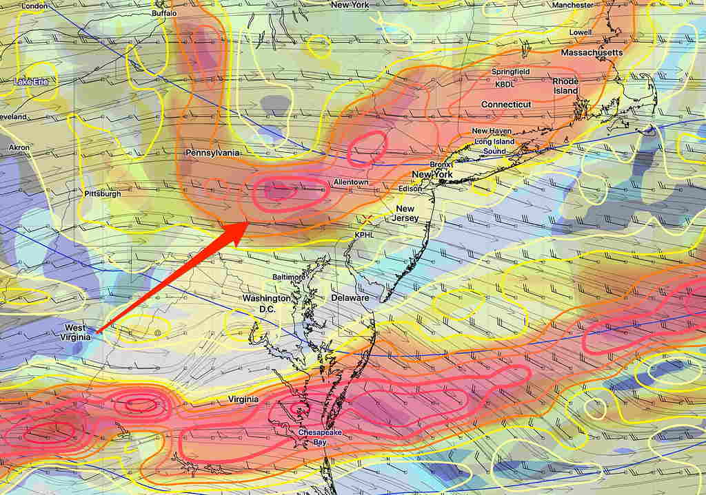
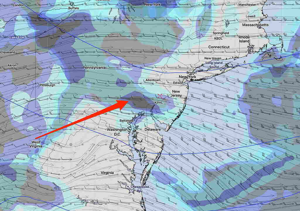
Add the humidity, vorticity and upper air cyclonic flow together and you get the weather we have this morning.
If the models were somewhat better, this combination of parameters should have triggered its cloud algorithm to show the clouds we have. But it didn’t.
Based on the same thinking and parameters, the GFS shows humidity and vorticity move off between 12 – 2:30 PM. We should see more sun by that time.
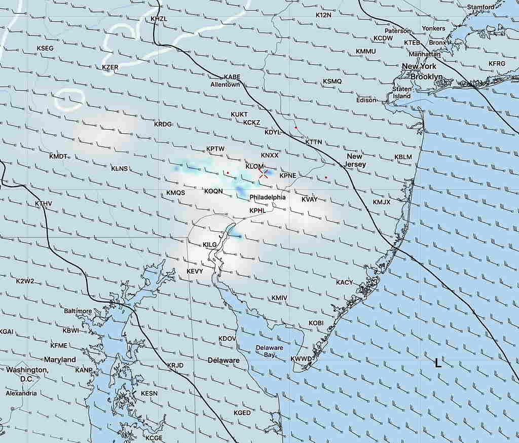
[su_note note_color=”#defcdc”]Update Wed 10 AM: This morning’s high resolution NAMNEST finally shows the light precip and clouds we already know about.
[/su_note]