“CHECK BACK AT 11” : TV WEATHER & EASTERN DAYLIGHT TIME

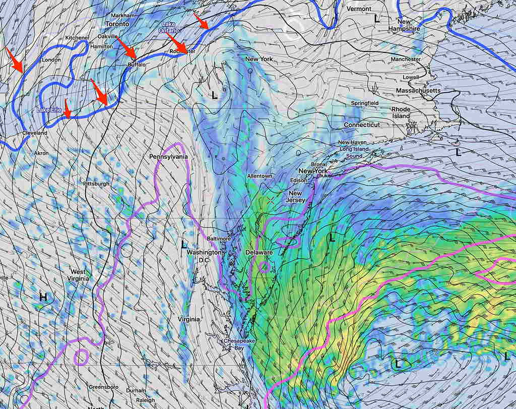
With the change to Eastern Daylight Saving Time, the TV weather forecasts you will see on the 10 and 11 PM news won’t/can’t be based on the latest models.  Why?   Read my post from March 2018.

I tried to further explain this snag in another post last year.

Over the past year and a half, I’ve been directly downloading weather model “grib” (gridded binaries) data from NOAA for these forecasts instead of relying on the adequate, but limited data freely available from university sites on the Internet.

Over the past day  I’ve been redoing my scripts/programs to have them run properly starting at 2 AM Saturday night.

To give you an idea of how late some of these weather models become available in Eastern Daylight Saving Time, here’s a few of the changes I need to make:

NAM model  9:38 PM EST —> 10:38 PM EDT
GFS model  10:38 PM EST —> 11:38 PM EDT (first 24 hour forecast data)
HIRESW Models 10:10 PM EST —> 11:10 EDT
HIREF ENSEMBLE: 11:19 EST. —> 12: 19 AM EDT
CMC GDPS  11: 45 PM EST —> 12: 45 AM EDT
ICON Model 11:21 PM EST —> 12: 21 AM EDT

To those times, add 5-10 minutes to download the data, time to review the data and you’re well into the wee hours of the morning.

Even the hourly HRRR, RAP and NBM models require several hours to incorporate  the changes in the upper air measurements (also done an hour later.)

So when you hear “check back at 11” for the weather on the TV during Eastern Daylight Saving time, you’re not going to get an updated forecast on new data.  It’s true for the next day forecast and even more so  for the five day forecasts.

Update Fri 11:48 AM — This morning’s models have decreased the total accumulated rain to 0.27-0.43 inches water.   Yesterday, the models were cranking out ~ 0.6 inches of water.


Update Fri 10:29 AM — The latest HIRESW-ARW MEM2 shows a critical temperature for snow remains too far north of our area; it will be too warm for snow.

HIRESW-ARWMEM2 has 925 mb freezing temp too far north at 2PM.

By the time this level chills off, most the precipitation will have moved away.  A few wet flakes early evening, maybe.


This morning’s newest upper air measurements (called “soundings”) were done at 7AM and incorporated into the latest Rapid Refresh Model (RAP) Analysis which just became available.  Soundings are done worldwide via the launch of weather balloons with attached radiosondes twice a day, at 7 AM and 7 PM EST  (0 and 12 UTC).

Despite the colder surface temps observed this morning. there is still a strong southwesterly flow of warm air at levels of 1500 feet which will keep temps above freezing at critical snow temperatures, as predicted by the models.

Here’s something called a SKEW-T diagram, which plots temperatures and dew points as a function of height.  This one is derived from the latest RAP model.

RAP SKEW-T diagram for 7 AM Friday.  The Red line (Temperature) stays above freezing with increasing height.  Wind flags with height are shown on the right.

So I guess the predominant model forecast for predominantly rain, maybe with some wet snow flakes later today, appears to be the best bet.

“Yes, I know this ‘storm’ doesn’t merit the attention I’m giving it, but I’m just honing my skills for next winter.  🙂 “

The newest HRESW-ARW MEM2 will become available about 10 AM.