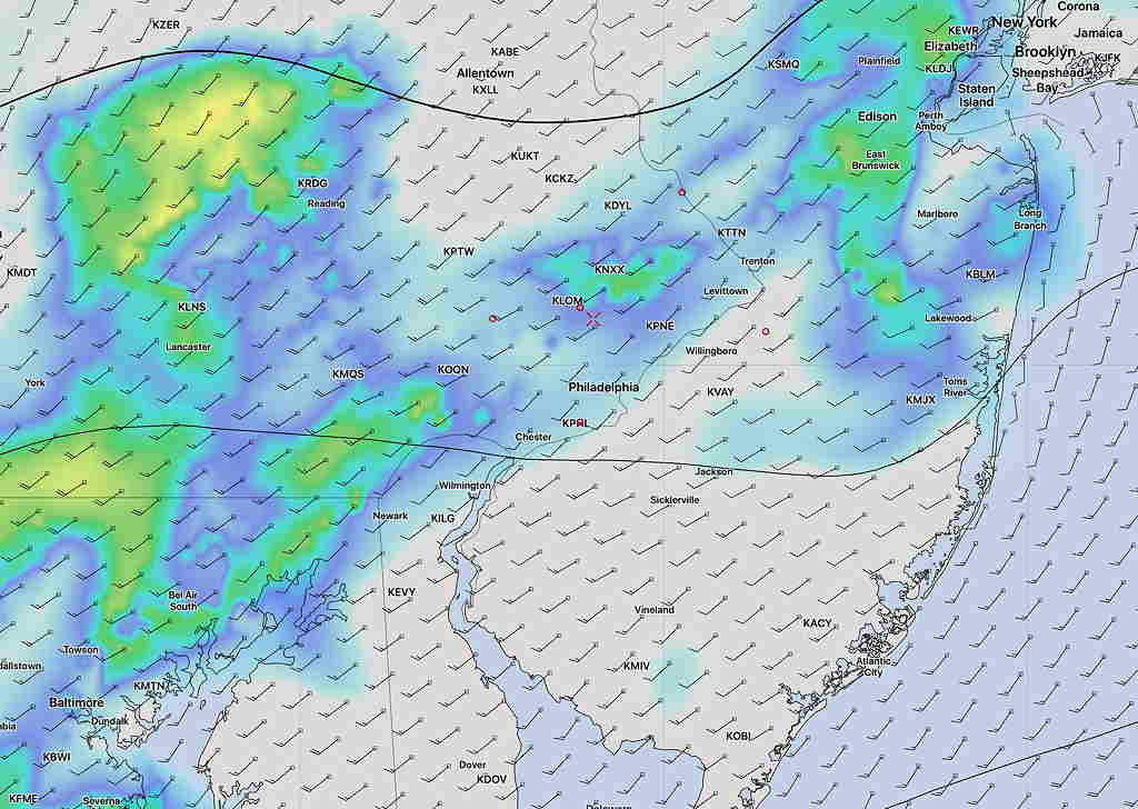
We got to 78° today and the showers were light and unimpressive.
A cold front is moving through this evening (Friday) and high pressure will build in for the weekend. The trajectory of the high is to move to our northeast and by Sunday, a cooler, easterly flow will set up as the high departs .
Right now, the models keep skies sunny for Sunday, but it wouldn’t surprise me if clouds creep in during the day.
Update Fri 11 PM.Saturday will have some early cloudiness that beaks for sun 8-9 AM.
Saturday will be sunny. High temp between 50 and 52°.
Sunday is expected to be sunny but cool, although the easterly wind flow could result in clouds moving in. High 46-48°
A wet system with secondary coastal low development will move in for Monday.