THUNDERSTORMS TUESDAY

Wed 08:17 AM Forecast Review — The storms did re-develop dynamically last night between 10-11 PM right around the PHL area.  Some were very strong (we lost our power).  That’s what you get when CAPE values are >3000 and the Lifted Index is in the -8 range.  

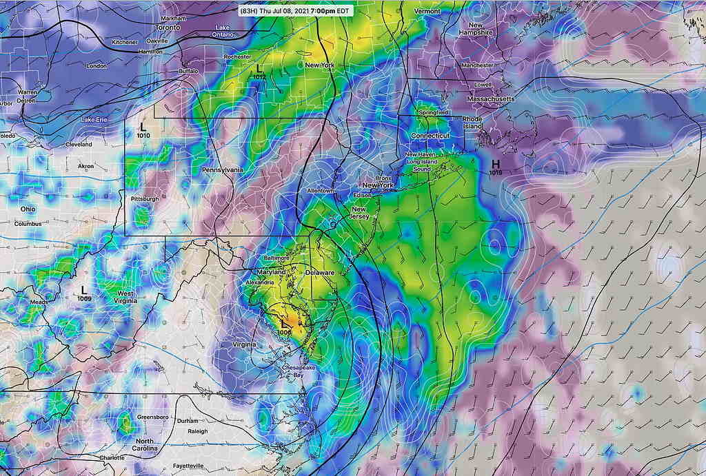
For today, Wednesday, most of last night’s models have the major dynamics staying to our far north and west.  Some thunderstorms possible 5-11 PM , but not as severe as last night.  

Updated on Tue 7:26 PM highlighted below

The storms popped early due to high instability, but luckily, not the severity that had been forecast. The intense storms formed far north, in NYC.

As post-storm forensics, I guess there were very low jet stream winds to mix in in this area.

The latest GFS and RAP models have another disturbance moving through between 10-11 PM tonight. The earlier storms have stabilized the atmosphere. We’ll see what happens.


Updated on Tue 5:28 PM highlighted below

Radar and Water Vapor imagery  @ 5:20 PM with RAP model upper air wind flow superimposed.  The storms are developing a littler earlier than I had forecast.  They are expected to develop just west and over Philadelphia and strengthen as they move rapidly eastward. They are forming in response to an upper air and surface trough that is forming dynamically over our area. Additional storms may develop later this evening.  (Click on image for a larger view.)

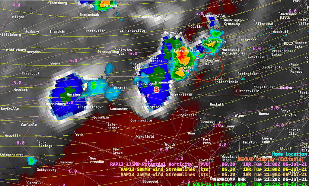
A quick mobile post. Models all have thunderstorms, likely severe, moving through between 6 PM and 10 PM this evening. CAPE values are very high at 3000 J/Kg and instability Lifted Index very high at -8. Storm motion and shear vectors nearly parallel providing an environment for strengthening.

IF – ELSE (ELSA); THEN RAIN

Updated Tue 8:30 AM : The trend continues towards a westward track off the NJ coast, and a merging with a Great Lakes low and associated cold front . The remnants of Elsa are not forecast to be very strong. Just a moisture source for additional rain. Some models have the associated rain east of the storm with little effect here.

What could be more conditional than an if-else (Elsa) storm situation!

I’ve been following the path of Elsa, as forecast by the GFS, GEFS, Canadian GDPS, the ICON Global and the NBM.

The models have been showing a significantly more westward track for Elsa over the past 24 hours, bringing it closer to the NJ coastline and the Philadelphia area in the late Thursday through Friday time frame.

After several hot days Tuesday and Wednesday, an approaching cold front will bring thunderstorms as early as Wednesday evening and Thursday.

The speed of the cold front will affect the path of Elsa in our region. If the cold front slows down, we will have much more rain and wind.

The latest GFS model has several inches of rain possible this week for the Philadelphia area and eastward, but the NBM rainfall amounts are not impressive right now.

Here’s the current GFS model forecast for 7 PM Thursday—

GFS model forecast (simulated radar, cloud cover) for 7 PM Thursday. This represents a significant change over the past day to a more westward track . (Click on image for a larger view.)

These tropical storm forecasts always to change over time. Stay tuned.