Updated Sunday forecast, Sat 10:13 PM highlighted below
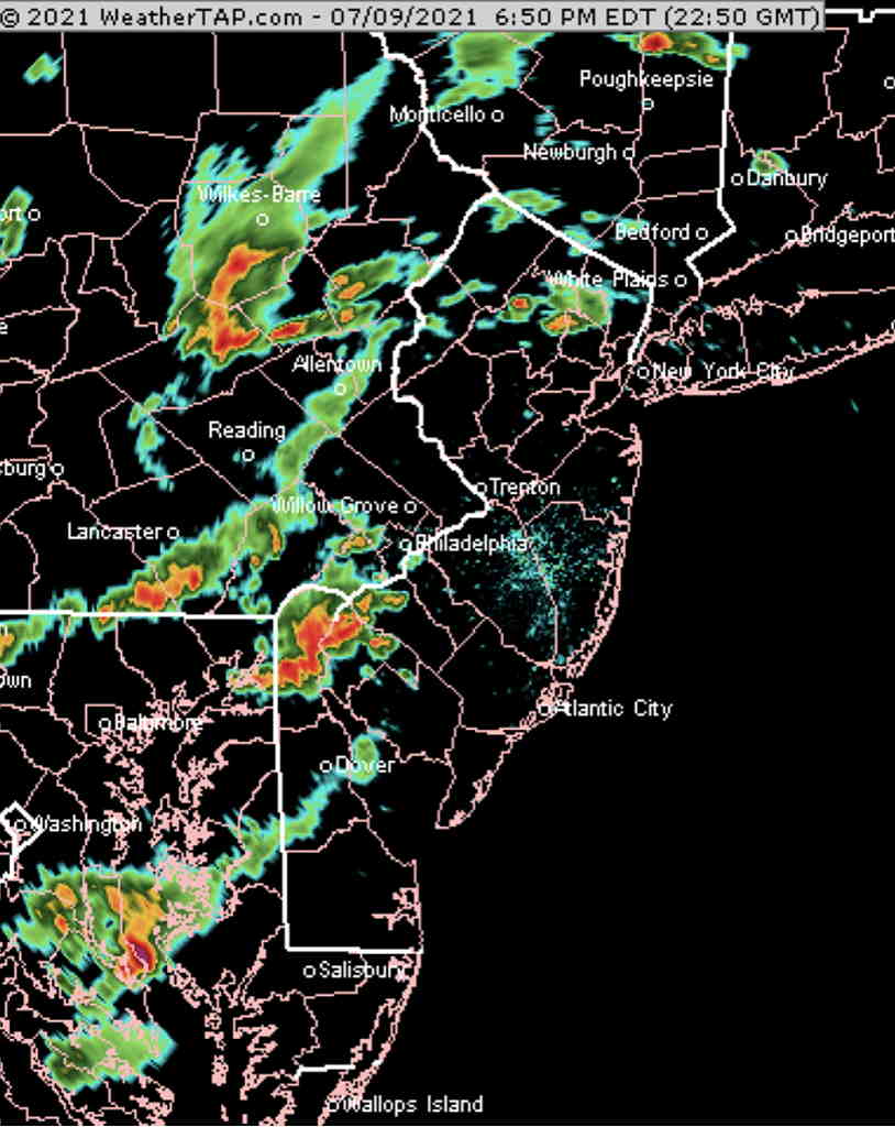
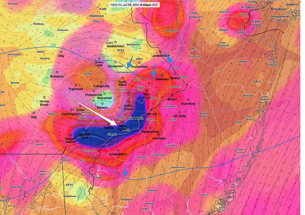
The weak front that moved through Friday evening will allow some drier air to move in for Saturday.
An mid-level disturbance may bring some clouds in the morning and even some sprinkles around noontime on Saturday, mostly far northwestern suburbs, but most of the day and the area will be partly sunny. High temp 84.7º ± 1.3º NBM Blue Bell.
For Sunday, the boundary that went through on Friday will return as a warm front. Considerable cloudiness in the morning with very some light showers possible, especially in far northern and western suburbs.
Clouds break for hazy sunshine Sunday afternoon with an increasing chance of showers and thunderstorms in the evening, especially western suburbs. The showers/thundershowers look less likely in Philadelphia and immediate suburbs.
Increasingly hot and humid. Dew points return to the uncomfortable upper 60s to near 70º. High 86.0º ± 2.6º NBM Blue Bell.
High 86.9º ± 1.7º NBM Blue Bell.
There is some uncertainty about the timing of showers on Sunday with the Canadian GEM having a somewhat different forecast than the GFS. Stay tuned.


