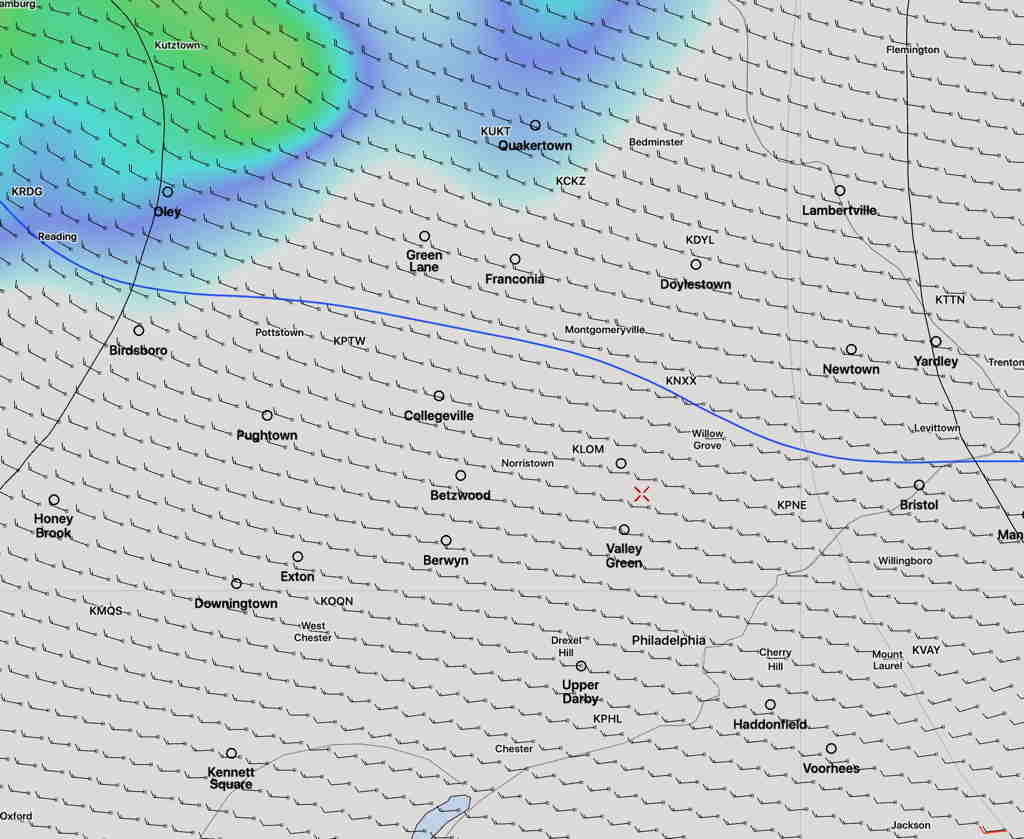
The model runs done at 2 AM (06 UTC) show some large changes in the forecast.
I’ve put the posts earlier this week under the title “Forecast Uncertainty” because there’s been a disconnect between the GFS model (and also the Canadian model) and the higher resolution models (NAM, NAMNEST, HIRESW, and HIREF.)
Last night, the higher resolution models changed their tune.
In essence, they now lean towards the GFS model which has been most consistent about having most of the energy move to our far north and east earlier in the afternoon, with a second line moving mostly to our south.
The earlier line looks to stay north of Trenton.
The immediate PHL area will get some thunderstorms, but they don’t look to be too severe. Most likely timing is 5-6 PM.
This morning’s most recent HRRR also has become less impressive with the storms in our area.
Could things change again with this morning’s models? Yes. But what had looked to be a very stormy 8 hours now appears to be run of the mill late afternoon thunderstorms.
It’s always more prudent for a forecaster to maintain a forecast that’s more dire, “just in case”, but you’re here to get the real scoop, not the hype.