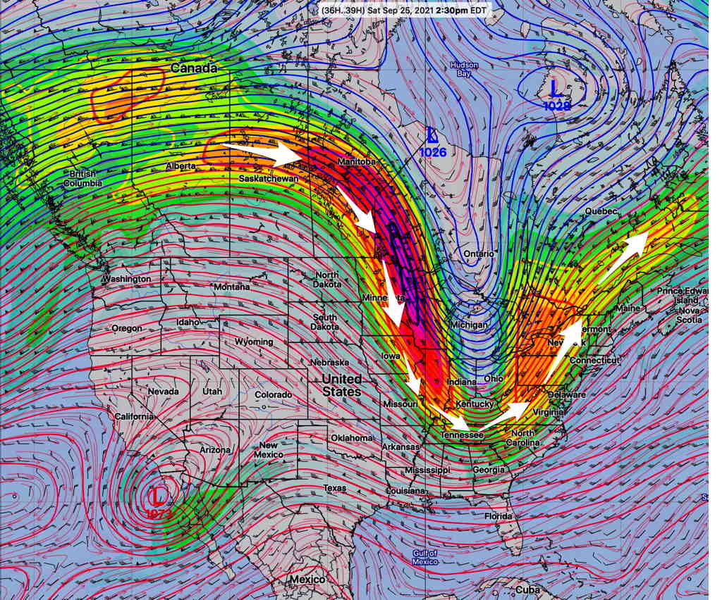
Overview: The deep low that brought the cold front through Thursday night will move off into Canada, leaving our area in an upper trough of cooler air.
This upper jet level trough will usher in a weak secondary cold front Saturday afternoon.
Behind the weak front, high pressure builds in for Sunday.
Average season high temperatures this time of year is ~72-73º
Saturday
The jet trough will usher in a weak secondary cold front Saturday afternoon causing some considerable high clouds (cirrus) and some considerable mid-level cloudiness in the far northwestern suburbs. (Basically, more cloudiness expected the further northwest you are.)
Sunny skies in the morning and early afternoon, some high to mid-level cloudiness in the late afternoon. More cloudiness in locations far north and west of the city. High temp 75.0º ± 1.1º NBM Model, Blue Bell. Light winds.
Sunday
High pressure builds in. Sunny skies. High temp 71.4º ± 1.1º NBM model, Blue Bell. Breezy at times.
Next Week
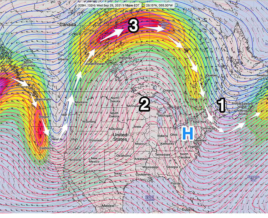
Next week, much of the country moves into a much warmer upper air ridge, although the northeast remains in a cooler upper northwesterly flow. Except for some impulses moving down, no significant storms.