Category Archives: Thunderstorm Outlook

THUNDERSTORMS WEDNESDAY

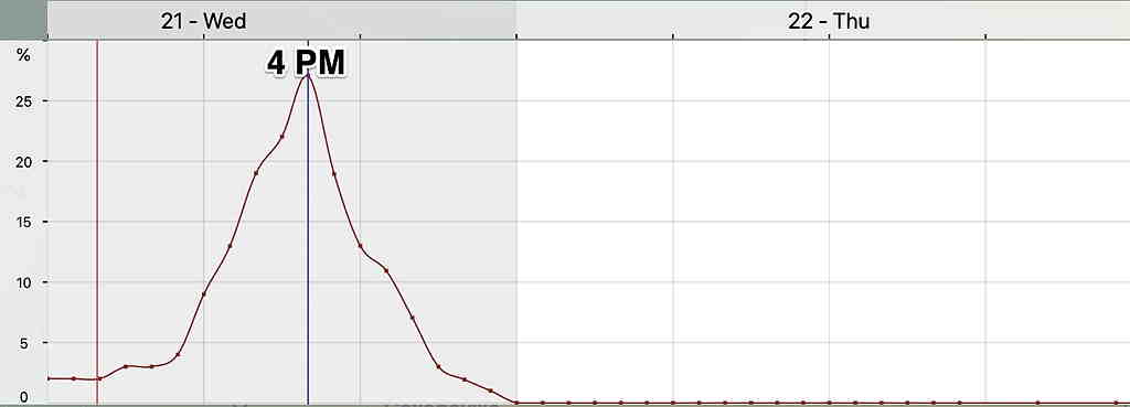
Updated on Wed 7:49 AM highlighted below:

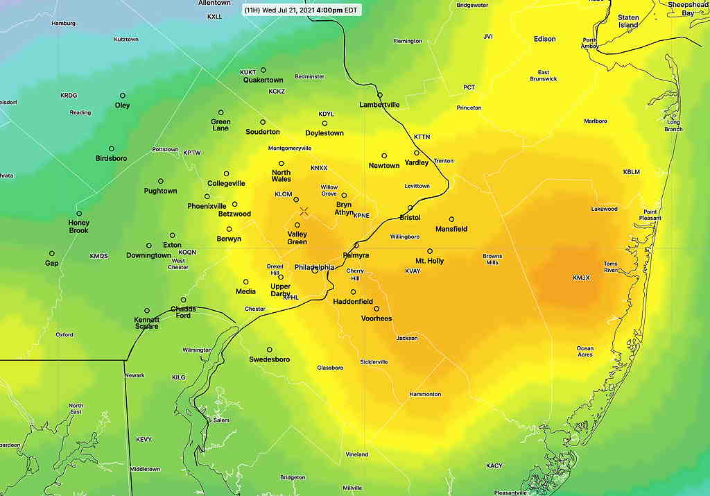
The latest NBM continues to show the highest probability of thunderstorms from Philadelphia eastward at about 4 PM.

NBM Location of highest probability at 4 PM Wednesday. (Click on image for a larger view.)
NBM 1 hour Thunderstorm probability for Blue Bell PA

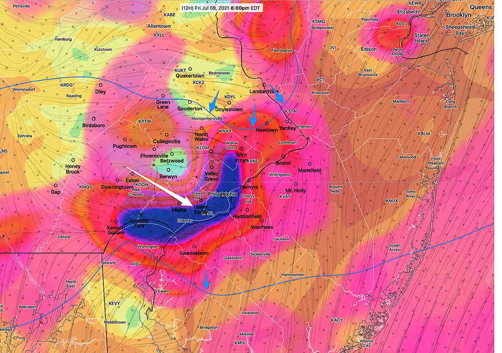
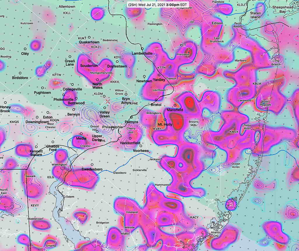
Updated Tues 10:35 PM with HIRESW highlighted below

A cold front will move through Wednesday afternoon and evening. The actual upper trough is not very sharp and the energy of the front will come through not as a single punch.

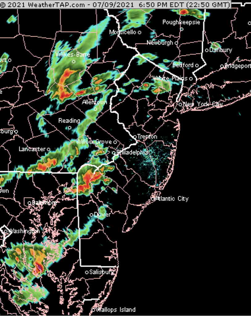
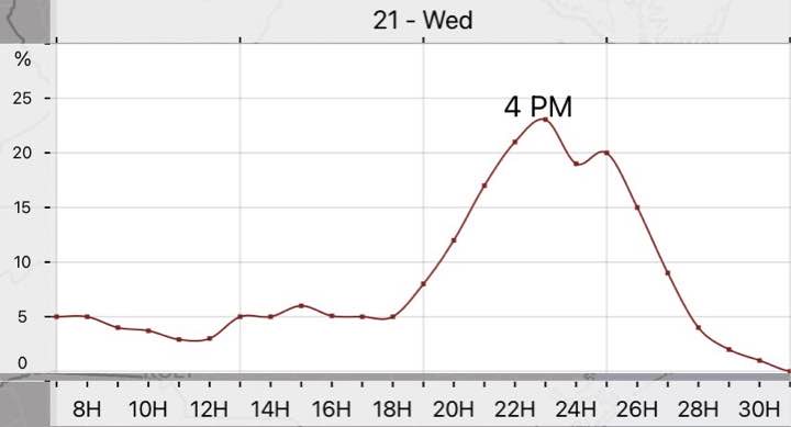
Prior to today, the models were showing very little in the way of thunderstorms. Today’s models have changed somewhat with some activity being forecast by most models.

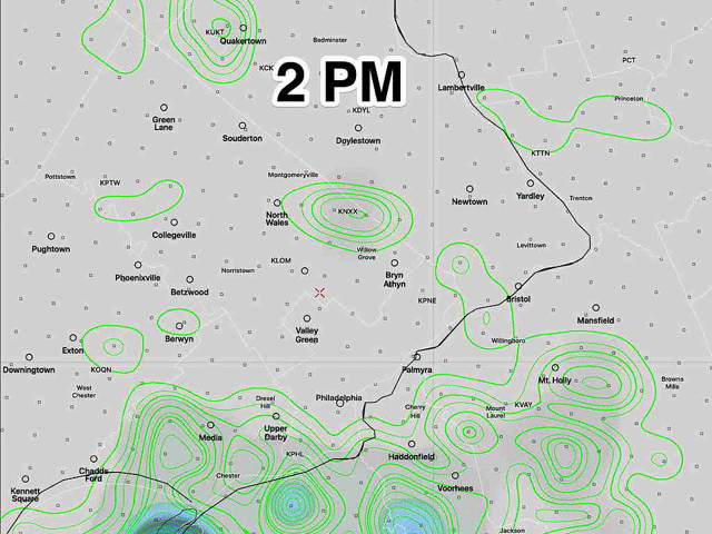
The HREF shows scattered areas of strong vertical motion between 12 PM and 4 PM. Peak time as early as 2 PM Main activity currently appears to be north and east of the city.

HREF Vertical Velocity, jet stream level, at 3 PM Wednesday. The areas with the darkest coloration have the best chance of thunderstorms. (Click on image for a larger view.)
NBM Thunderstorm 1 hour probability Blue Bell. Anything more than 18% is a good probability.

Precipitable water (1.4″ to 1.7″) is not as high as recent past thunderstorms and CAPE levels are in the 1100 J/Kg range. Enough for some strong storms but right now, it doesn’t look like a major storm event for most areas.

THUNDERSTORMS FRIDAY

Fri 08:18 PM Forecast Review — The storms developed and moved just south of Philadelphia as picked up by the afternoon HRRR.
NEXRAD radar at 6:55 PM

Updated Fri 4:25 PM, highlighted below, based on new HRRR
Updated Fri12:30 PM, highlighted below, based on new HIRESW

Strong thunderstorms expected early this evening. The latest HRRR shows all the ingredients coming together about 4:30 -8:30 PM 5:30 – 9 PM (peak 7-8 PM) in Philadelphia.

Update: The latest HRRR has the heaviest storms just to the south of Philadelphia

CAPE values in the 1600-2200 J/Kg range. Lifted Index moderately negative at -5. Very strong upward vertical motion is predicted to develop (blue shading/white arrow below) along with cyclonic upper air contour (blue arrows).

Heavy rain expected, especially from Philadelphia south and east.

HRRR 12z forecast for 8 PM showing very strong vertical velocity (blue shading/white arrow) right over Philadelphia and cyclonic upper air curvature. (blue arrows) (Click on image for a larger view.)