WEEK WEATHER OUTLOOK

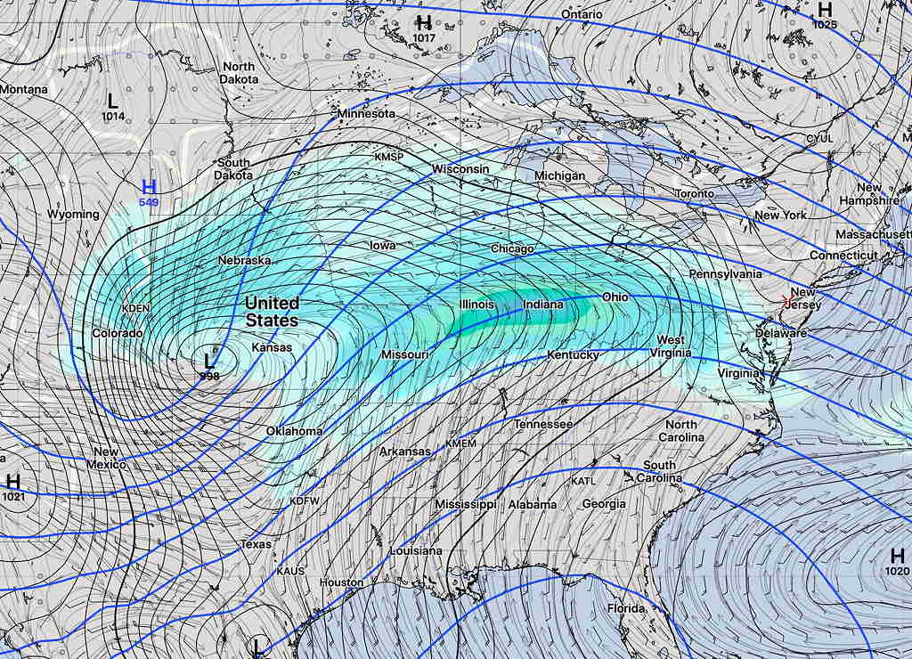
An active and wet pattern is setting up for this week and especially this weekend.  Low pressure  developing in the middle of the country from a persistent jet stream dip spawn waves of low pressure passing over us almost every other day through the weekend.  The track of these waves will be along a stalled frontal boundary.

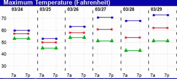
It should be said that there are uncertainties in the forecast for this week and weekend and this is reflected in the increasing ‘spread’ of the  EKDMOS high temperature forecast—

EKDMOS high temperature forecast 10 percentile, mean, 90 percentile shows high spread later in the week and weekend indicating increasing uncertainty.

For today, Tuesday, clouds should break for sunshine by noontime.

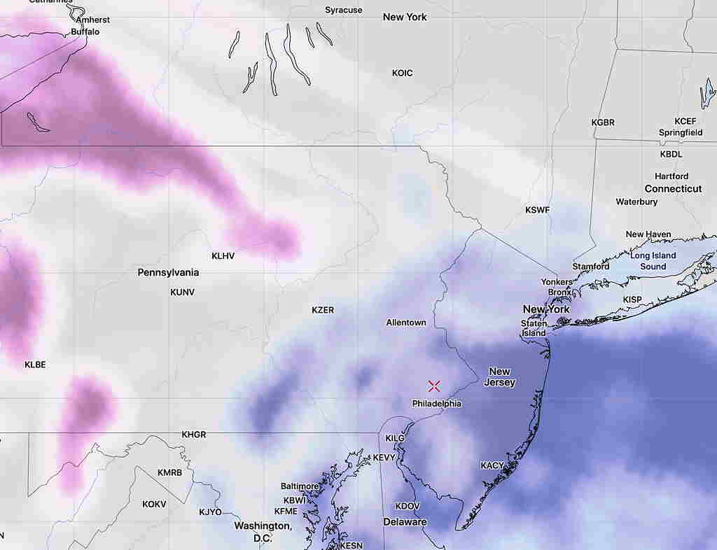
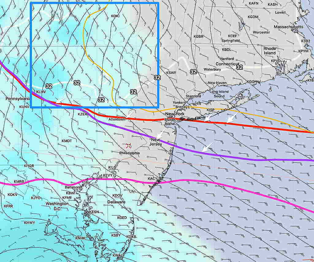
Wednesday, the first wave of low pressure approaching from the west will bring clouds and rain  according to the SREF

SREF (Short Range Ensemble Forecast) for Wednesday   (click for larger images)

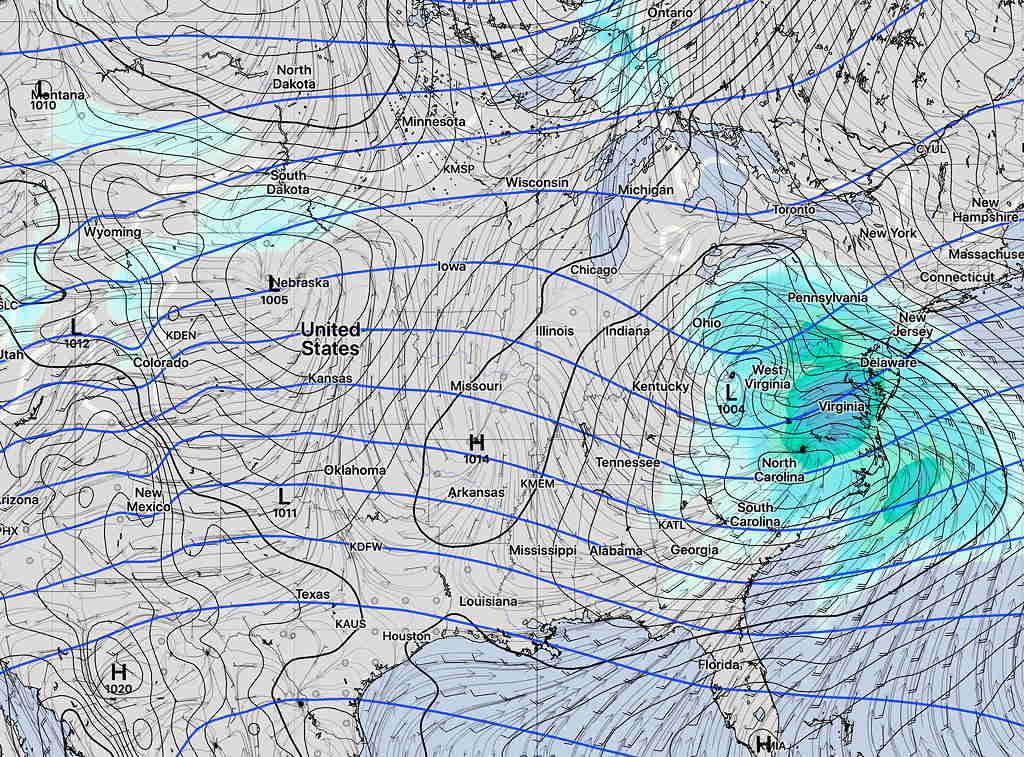
I should add that the GFS has this wave on Wednesday passing more to our south along with its rain, so the short range forecast isn’t high confidence either.

A break in the action for Thursday.

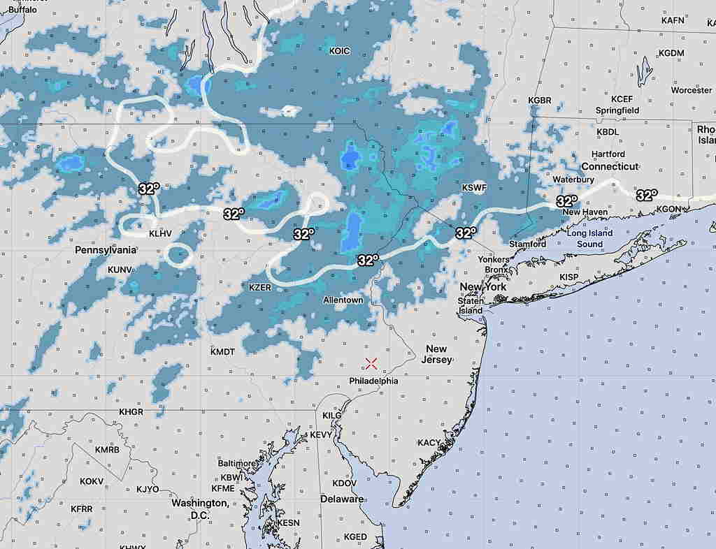
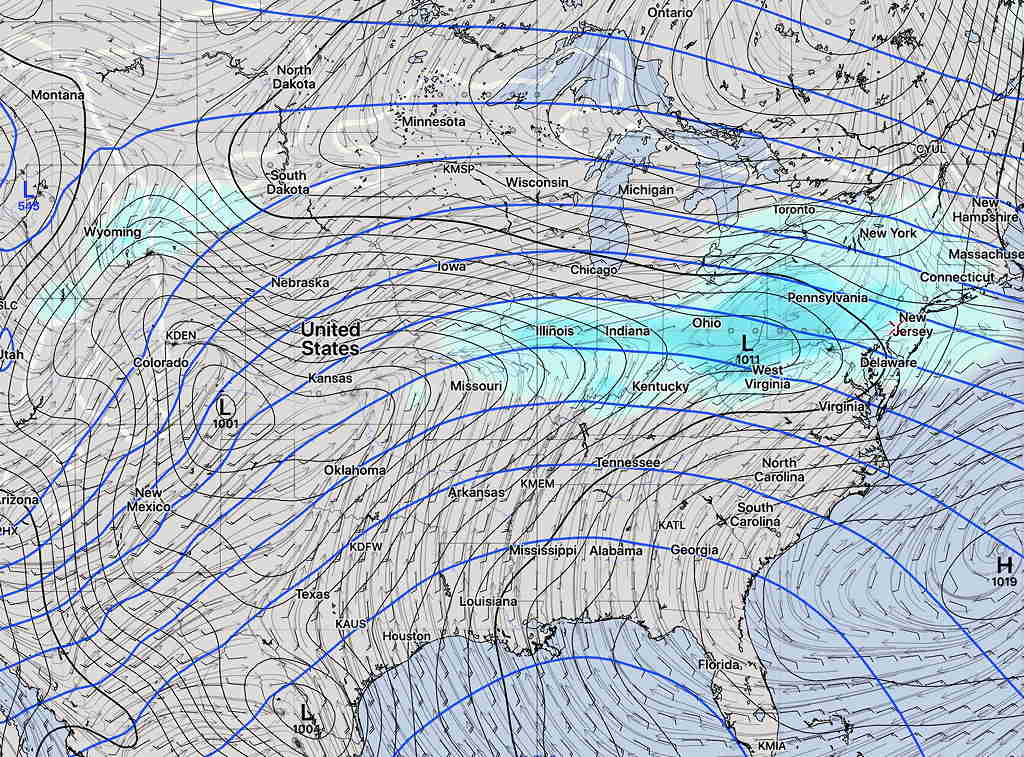
Friday, another wave approaches with rain—

GEFS (GFS ENSEMBLE FORECAST) for Friday morning

For the weekend, the low pressure deepens in the center of the country and deeper waves of low pressure move along a frontal boundary towards us—

GEFS Weekend setup for more rain both Saturday and Sunday.

There currently are differences/uncertainties in the forecast between the short range models (SREF, NAM, etc) and the longer range global models (GFS, CMC) as early as Wednesday, so changes are possible as the week and weekend unfolds. Stay tuned.


WEATHER OUTLOOK- TODAY & MONDAY

Today, some low level clouds will move in during the afternoon due to the easterly flow.   Here’s the NAM NEST model depiction:

NAM NEST low cloud forecast 2 PM Sunday  (Blue- low clouds; magenta mid-level)

For Monday, a low pressure system moving in from the west will spawn development of a coastal low.

Light precipitation arriving before daybreak Monday will fall when surface temperatures (actually temps are measured 2 meters above ground) will be above freezing in our area,  but areas north and west will have temperatures aloft cold enough for some snow.

NO SNOW near Philadelphia or the immediate suburbs expected.

Here’s the snow “critical thickness” lines (red, purple)  for 5 AM Monday morning —

Short Range Ensemble forecast- Snow “critical thickness” lines (arrows)  are north of our area. Too warm for snow.   Notice the 32º temperature line (white) is well north of our area.  The blue box is the general area for any snow.

National Blend of Models snow accumulation forecast 6 AM —

National Blend of Models (NBM) showing light snow (less than 1 inch) shaded with 32º temp line at 6 AM Monday.