Let’s say you read this blog and watched the local 6 pm evening news/weather on TV. There’s some snow possible on Saturday, five days (120+ hours) in the future.
You’re thinking…I want more information about this possible storm. If I watch the 10 or 11 PM news/weather tonight, will I get more insight or an updated forecast for Saturday?
The answer is no.
Let me explain—
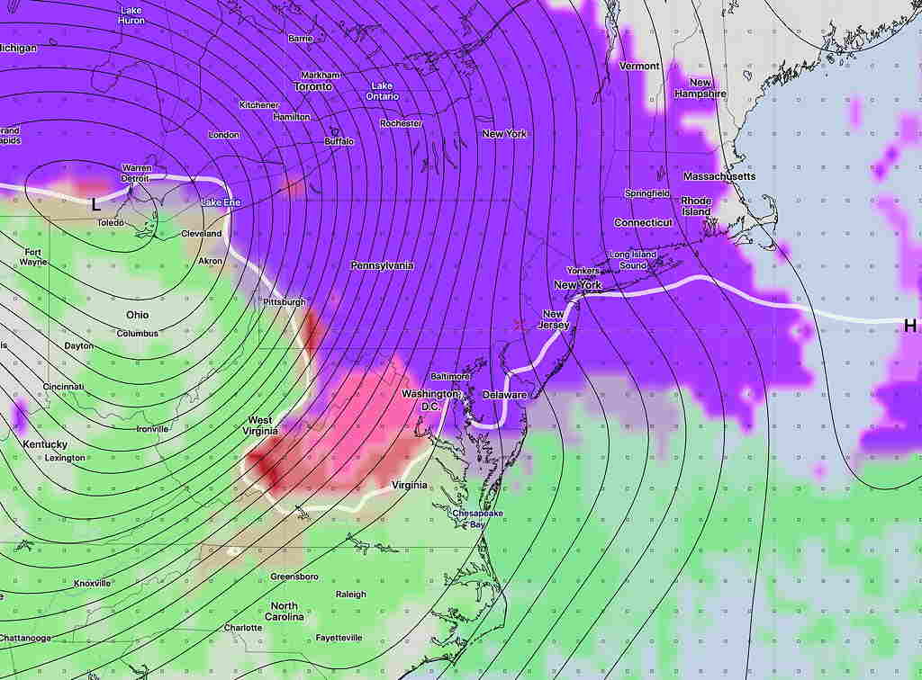
When it comes to forecasts for the 120+ hour time frame, there are really only three models that go that distance into the future: the GFS run four times a day, the Canadian Global CMC, and the European ECMWF. The Canadian and ECMWF are only run twice a day.
A new GFS 120 + hour forecast will become available about 11:10 PM, the new Canadian about 11:25 PM and the ECMWF around midnight.
Add some time to review the data and an updated 120 hour+ forecast simply isn’t available for the late 10 or 11 PM news/weather.
Yes, there are other important statistical “ensemble” models based on these three, but their data is available even later!
(Another good model, the German ICON model, just goes to 120 hours. The U.K.’S UKMET and the Navy NAVGEM are rarely worth looking at.)
So, when looking at long range forecasts (five days or more) where one wants to consider more than just the GFS, meaningful forecast updates more frequent than every 12 hours just aren’t possible.