
The current weather pattern forecast by all models, is for the jet wind flow to broadly stay far south of our area, preventing any disturbances from moving up the coast and keeping them moving out to sea.
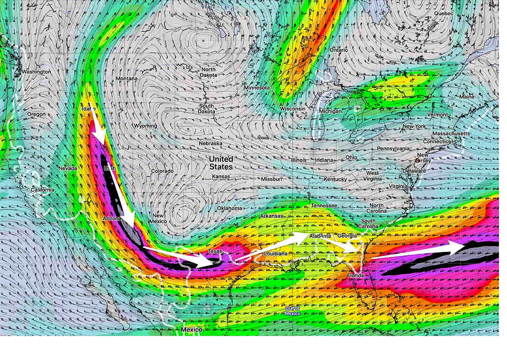
Several disturbances moving into the Pacific northwest US will follow this path. (The northern jet flow is so far north, it doesn’t show in this map!) Until things change, expect near seasonable temperatures and no snowstorms in our neck of the woods.
The medium and extended range models maintain this general pattern for the first two weeks of January. A change in the pattern may occur sometime around the 15th to the 20th of the month, when an arctic outbreak may shake things up. Of course, things can always change sooner, but this is the current model outlook.