[su_note note_color=”#ffffff”]Updated Sun 12:15 PM — This morning’s models still maintain the possibility of afternoon scattered showers and thundershowers, mostly north and west of the city. [/su_note]
[su_note note_color=”#ffffff”]Updated Sat 10:50 PM — Little change In the Sunday forecast shown below. Fog and clouds break between 9:30 AM and 11AM. High Temp 84.2° sd 1.2° Afternoon showers much less likely except in northern suburbs. [/su_note]
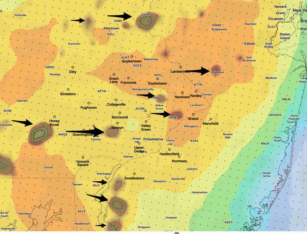
[su_note note_color=”#ffffff”]Updated Sat 08:29 AM — Most of last night’s models onboard for showers and thunderstorms between 12 PM and 5 PM. Two probability maxima- about 1-2 PM and about 4-5 PM. Some cloudiness moves in about noon. These storm’s main threat will be mostly moderate to heavy rain where they occur. [/su_note]
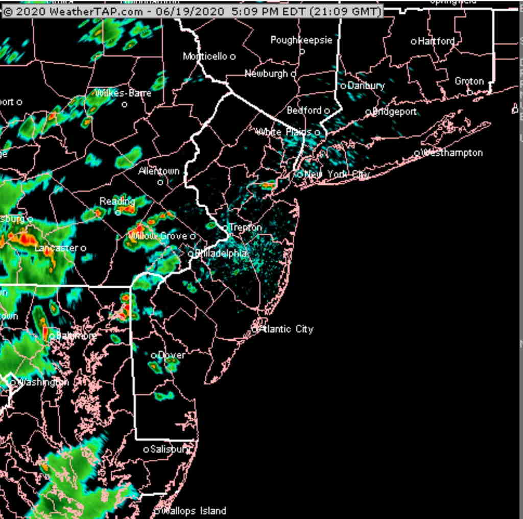
The upper air cyclonic flow will continue to cause instability as warm, increasingly humid air moves in from the south. Both Saturday and to some extent Sunday will be similar to Friday, weather-wise, with scattered showers and thunderstorms.
Tonight’s HIRESW just available shows showers and thunderstorms developing as early as 12 PM.
Saturday —
- Sunny in the morning, considerable cloudiness after noon time..
- Scattered showers and thunderstorms develop 12-5 PM.
- High Temp 83.6º sd 2.1º (NBM). 85.3º (GFS)
- Dew points- mid 60s
- Winds very light in the morning, increasing to 10 mph from the south in the afternoon.
Sunday—
- Cloudy/some fog in the morning, becoming sunny
- Lower chance of scattered showers in the afternoon.
- High Temp 82.6º sd 2.5º (NBM) (wide spread)
- Dew points 67º
- Winds very light, increasing to 8 mph from the south late afternoon.


