Wrong information was given on several TV weather forecasts last night— the rain Wednesday night/Thursday morning was not a warm front passage. The warm front is still to our south, as explained in yesterdays post here, and will slowly approach during the daytime Thursday.
Today’s winds will be out of the east and then southeast. The warm front is slowly approaching and expected to pass north of our area after midnight early Friday morning. Additional showers will break out with the actual warm frontal passage.
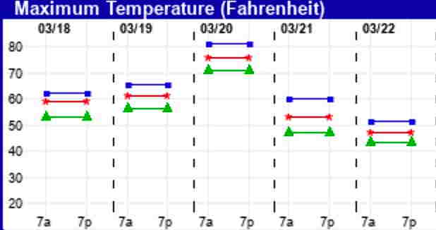
Friday will be the warm day with temps in the mid 70s. If we get more sun than the actual models predict (a possibility), then temps might approach upper 70s to near 80º. It will be WINDY.
A cold front will approach Friday and move through Friday night. Most of the dynamics are expected to move through to our north, along with the associated showers. Cooler temps for the weekend.
Low pressure and rain moves through Wednesday night into Thursday with a warm front slowly advancing through the day on Thursday.
Thursday will be mostly cloudy after the main rain event ends late Thursday morning.
The warm front approaches on Thursday and moves through with considerable cloudiness before daybreak on Friday.
For Friday, temps will reach the mid and upper 70s, considerable cloudiness with breaks of sunshine expected. Sometimes, the models underestimate the amount of sunshine and the high temps may be higher than currently forecast.
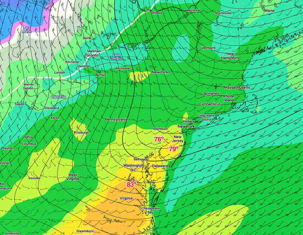
GFS Ensemble Bias Corrected High Temps For Friday
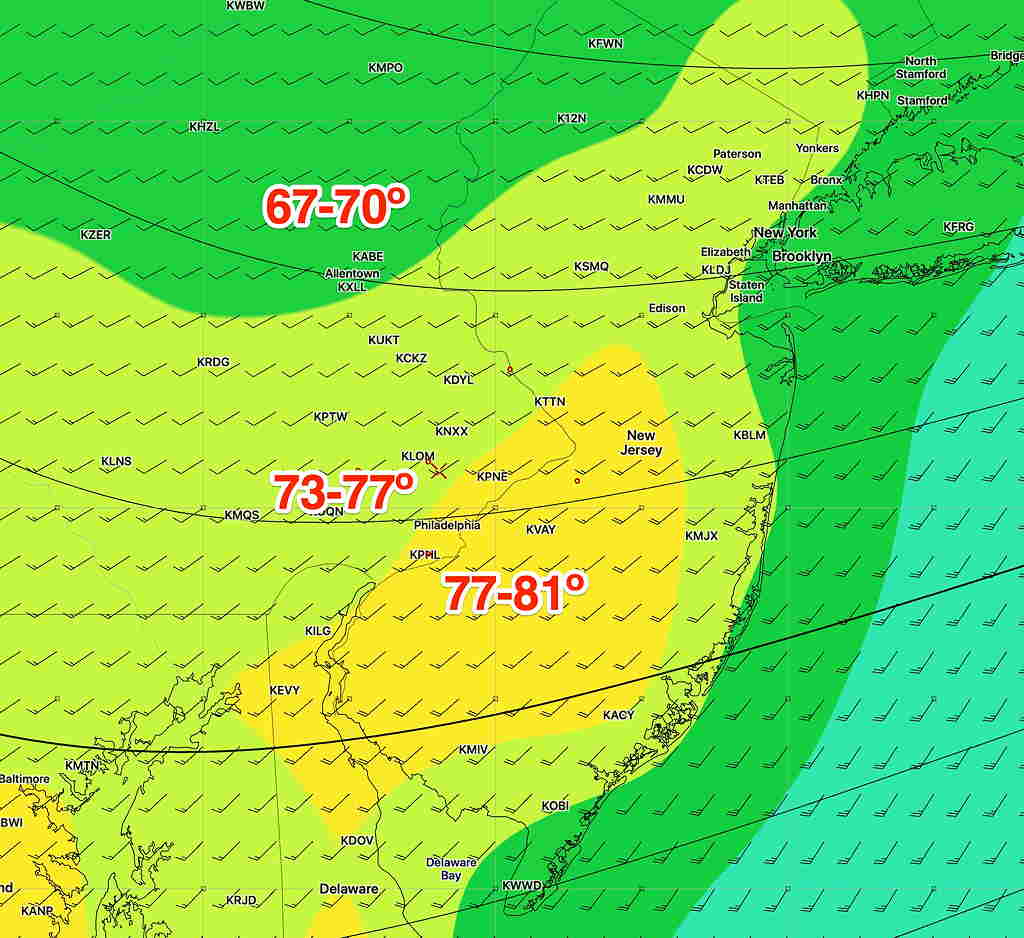
Here’s the EKDMOS (Ensemble Kernel Density Model Output Statistics high temperatures—
Despite the corona virus, they haven’t closed or cancelled the weather…at least not yet.
This coming week’s main weather event will be a wet low pressure system that moves through Thursday into Friday. A warm front associated with this low pressure system will pass north of us early Friday and will bring very warm temperatures for Friday.
Here are the current high temperatures predicted for Friday, based on the the GFS Ensemble Model—
GFS Ensemble (“Bias Corrected”) Max Temp forecast for Friday. Click for larger image