…Update added Arctic Temperature Anomaly chart below.
When temperatures reach into the 60s this weekend (the Canadian model has us near 70!), it’s appropriate to wonder where’s the snow this winter? I don’t have any good answers, but I have some interesting observations.
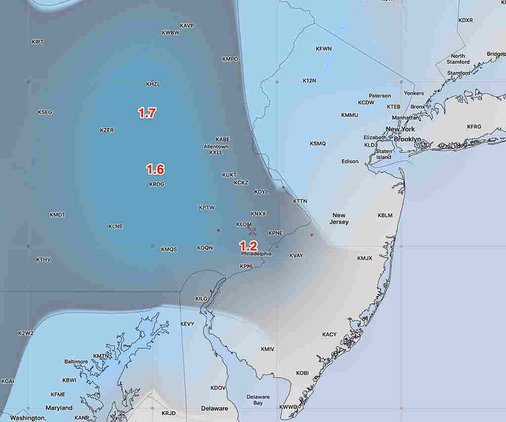
Taking last year as an example, we would have jet stream configurations and air mass positions that would suggest the possibility of coastal storm development and snow. Most of the times last year, these model forecasts of snowstorm development would fall apart just a few days before the forecast event. But there were possibilities.
What’s fascinating about this year’s weather pattern is that the models haven’t even projected a potential storm for us. I haven’t seen any instance of southern and northern jet stream phasing over the western Atlantic in a way that would allow a coastal low to form near the Carolinas or Virginia.
The jet stream, which really represents the “air river valley” at the periphery of cold air masses sagging southward has been broad in shape instead of a sharp dip in most cases. Where there have been some sharp dips, they have occurred in the Western and Central US. Where there was any sort of dip, the shape was positively tilted instead of negatively tilted (tilted back westward), which induces deep storm formation and slower movement.
There has been no large blocking North Atlantic high pressure that results in these sharp dips along the coast.
Not only have there been no sharp dips along the east coast in any model projections during December or the first week in January, the current GFS which forecasts 16 days in advance shows no potential snowstorms through January 24th.
Things could change, but the Climate Prediction Center shows our area with above normal temperatures and precipitation through the spring and summer.
One more thing —the amount of cold air dropping south is dependent upon the amount of cold air that accumulates in the arctic. Here’s December’s temperature anomaly for the arctic:
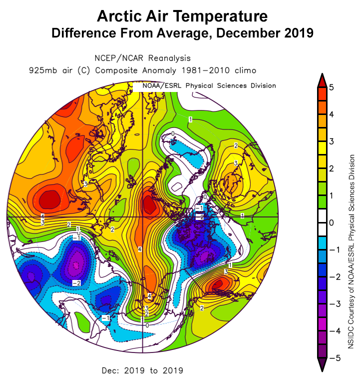
There’s simply less cold air pooling in the arctic circle.