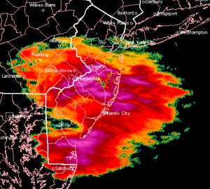
[su_box title=”Weather Update Fri 12:30 PM” box_color=”#defcdc” title_color=”#000000″]The latest HRRR (High Resolution Rapid Refresh) and NAM high resolution show about 1 to 1.5 inches snow in Philadelphia and about 2 inches of snow in southern Delaware and Chester counties. Less in northern suburbs.
As mentioned last night, this clipper was insignificant until last night’s model runs showed there might be some actual QPF associated with it. [/su_box]
from this morning–
[su_box title=”Weather Update Fri 11:30 AM” box_color=”#defcdc” title_color=”#000000″]The NAM probably did the best with the QPF last night. This morning’s models (GFS & NAM) continue to show about a coating to 1 inch of snow, ending about 2-3 PM. (The National Blend of Models did the worst, where it was still showing no snow here even with this morning’s runs.) [/su_box]
from last night–
An upper air disturbance (an area of vorticity) will move across our area, staying mostly to our south. The models have not been very impressive with this disturbance until tonight’s model run. The NAM has a QPF of 0.10 inches of water while the GFS has 0.03.
The National Blend of Models has nothing for Philadephia. Not surprising— these clipper systems have a way of being a bust, but occasionally they surprise.
So, flurries or a coating to an inch is possible in and south of Philadelphia for late morning into afternoon on Friday. Even less north.
