The unseasonably mild weather pattern we’ve been experiencing appears to be breaking down over the next few days. Monday will be seasonably cold.
With the exception of this Tuesday, temperatures will be colder and closer to average, with even some below average temperatures towards the end of this week. We may even see some light snow Saturday if a storm passing to our south moves further north.
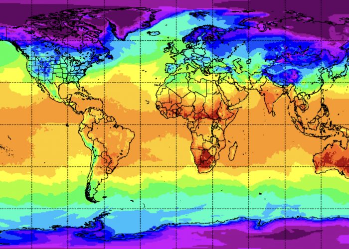
By the end of next week (around the 20th), a large outbreak of cold air is expected to move into the continental US.
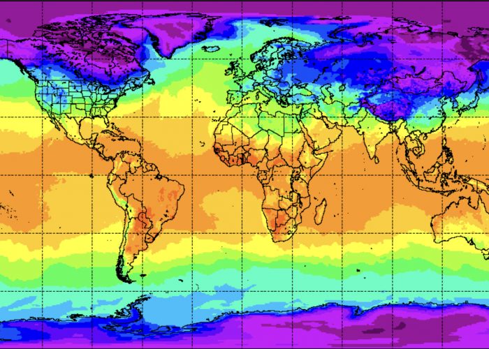
The graphic below shows predicted global temperatures (NAVGEM model) now and in 11 days. Notice the colder temperatures at the poles, Siberia and Greenland.
This colder air has to go somewhere. Current forecasts show it descending into the US but current predicted configurations will block storms, keeping them to our south. No snowstorms are in the long range forecast.


