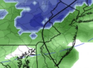
[su_box title=”Forecast update Sunday 8 AM” box_color=”#defcdc” title_color=”#000000″]Warm air retuning in the mid levels of the atmosphere is causing this layer of altostratus this morning. Light snow has developed with this pseudo-warm front feature. None of the models had picked up this feature. These clouds should dissipate by late morning. High temperatures 42-44.[/su_box]
The current pattern can be summarized as cold air remaining in Canada with small dips in the jet bringing colder air over the Northeast, which then alternates with a warmer southwesterly flow of moisture bringing rain.
Low pressure will move off the coast tonight and weak high pressure will build in. The flow will remain cyclonic from the departing low through Saturday afternoon. Saturday will be fairly windy and cooler. Highs about 48-50.
[su_note note_color=”#d9f2da”]Fri 11PM Update: Saturday high temps 45-47[/su_note]
Winds 15 mph with gusts. Following some sun early, the cyclonic flow will cause some altocumulus cloudiness during the mid day hours into the afternoon, then will dissipate as winds subside.
For Sunday, weak high pressure will provide mostly sunny skies and more seasonably cool temperatures. Highs 42-44.
High clouds move in late in the afternoon on Sunday as the next wave of warmer air and rain approaches for late Monday into New Years Eve. (Bravo to the new FV3-GFS which predicted this bad weather for New Years Eve well over a week ago, although it was originally predicting a snow storm two weeks ago. )
Things chill down toward the end of the week, as the GFS has the possibility another brush with rain or light snow Thurs evening.

