FRIDAY FORECAST UPDATE

[su_note note_color=”#ffffff”]Updated Fri 04:42 PM —The models didn’t shine today. The morning forecast for thunderstorms didn’t pan out.  Can we count on the model forecast for this evening? We’ll find out.

The models continue the idea of a line of storms approaching the north and western suburbs early this evening, but falling apart as it moves into Philadelphia.

Here’s the current radar image at 4:36 PM—

Current Radar 4:36PM          Courtesy WeatherTap.com

Latest HRRR simulated radar forecast for 8 PM—

HRRR simulated forecast for 8 PM Friday evening  (Click on image for a larger view.)

The above HRRR forecast looks imposing, but much of it falls apart, especially on the southern end, as it moves east into Philadelphia and NJ—

HRRR forecast for 9 PM  (Click on image for a larger view.)

So Philadelphia may see some storms, but they’ll be on the decline.

I guess we’ll see.  Not a high confidence forecast.

[/su_note]

[su_note note_color=”#ffffff”]Updated Fri 09:55 AM — The 2 AM runs of the models still showed showers/thunderstorms for 10-11 AM, but the latest, shorter range models (HRRR, RAP) just run at 8 AM are not as impressive with the forecast of morning thundershowers this morning.

HRRR 12z model forecast for 10 AM Friday morning. with storm movement direction.

It’s almost 10 AM and I don’t see much happening on radar.

This morning’s HRRR model also shows thunderstorms as close as Valley Forge at 8PM, but they don’t make it into Philadelphia.

The energy with this cold front is forecast to move through in two waves, 8 PM Friday and 5 AM Saturday.  The predicted barometric pressure captures this—

HRRR Adjusted Sea level  Pressure and Wind forecast

The models are only so go good with these things. [/su_note]

Tonight’s models, just becoming available, show a line of thunderstorms moving through Friday morning about 10AM.  That will signal the actual warm front passage.

Becoming partly sunny  warm and very humid.

Another line of storms ahead of a cold front moves through about 9-11 PM Friday evening.  Most models have these storms falling apart as they approach the immediate PHL area, but tonight’s NAM NEST have them making it to the immediate western suburbs.

INTERESTING WEATHER FOR FRIDAY

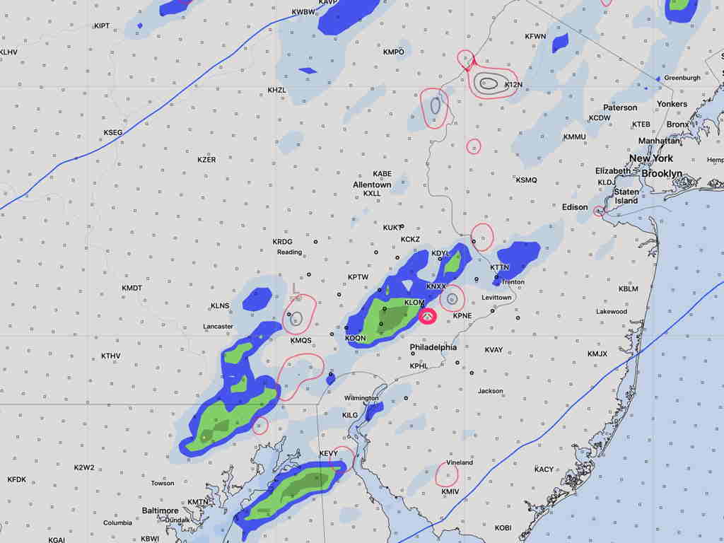
[su_note note_color=”#ffffff”]Updated Thu 03:23 PM — Today’s models keep the most intense thunderstorms far west of Philadelphia on Friday evening.  Some models showed that yesterday.

The models seem to show  weakening of the storms as they move into the immediate Philadelphia area later on Friday evening, after 10 PM.   I’ll keep an eye on it.

HIREF 1 hour precipitation at 10 PM

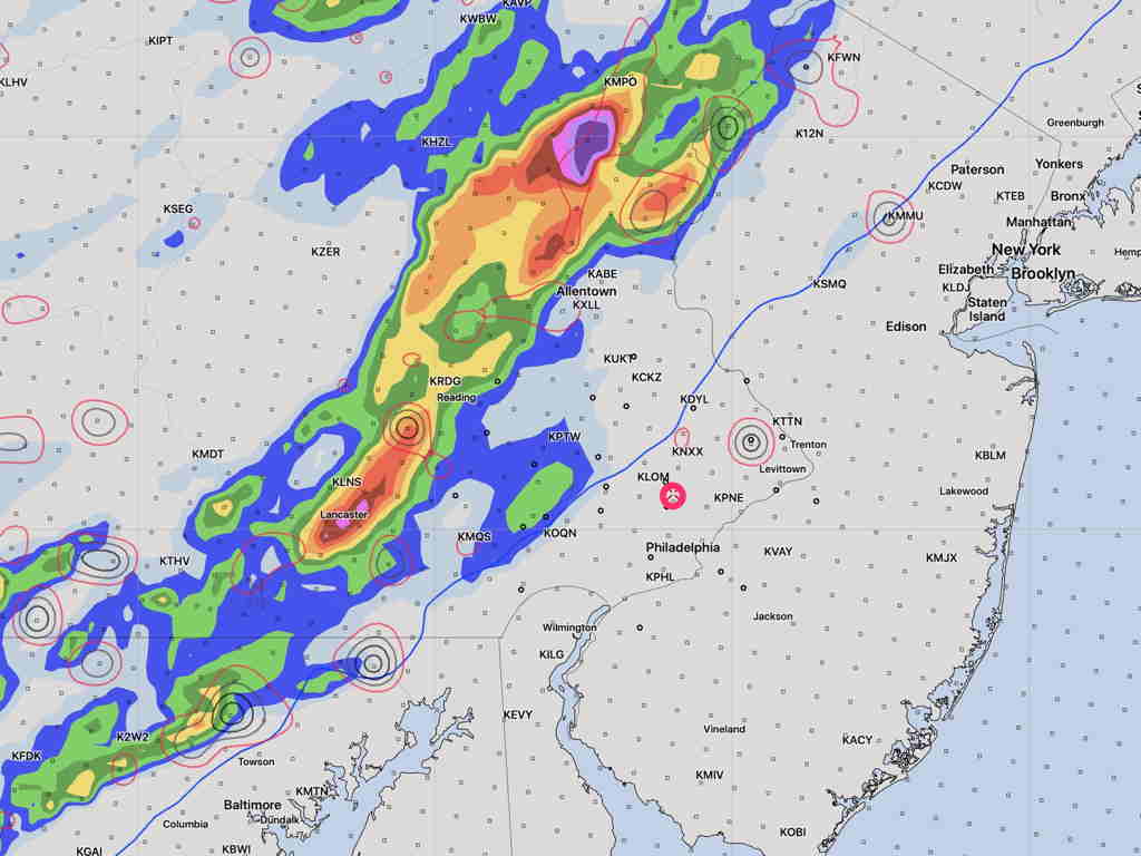
Substantially reduced as it gets here 2-3 hours later—

HIREF 1 hour precip at 1 AM Saturday

[/su_note]

A warm front will move through the area Thursday night. Showers and some thunderstorms are possible late Thursday night or Friday morning before daybreak.

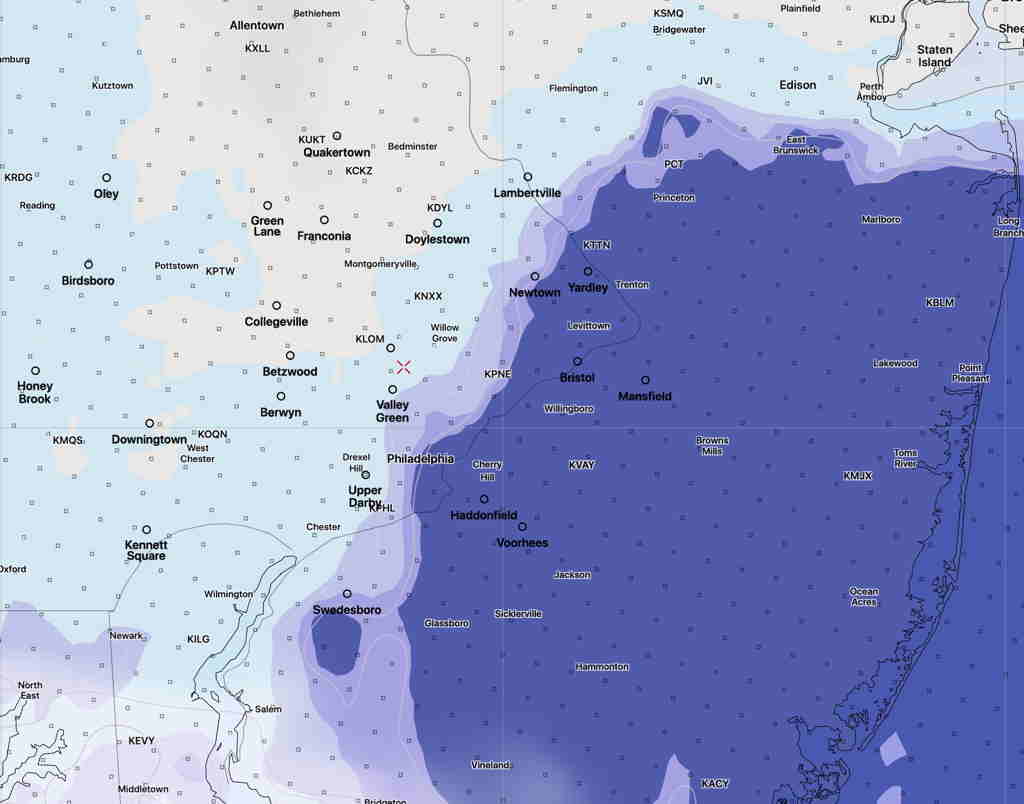
Very warm and humid weather on Friday is expected with high temps 83º-85º and dew points near or above 70º.

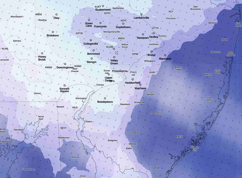
A strong cold front moves through Friday evening.  Very high instability and a very moist atmosphere will fuel the development of some impressive, severe thunderstorms Friday evening. Very high precipitable water values (“PWAT”) of over 2.1 inches water will cause locally heavy rain over a short period of time.  There’s enough available energy for high winds with these storms.

Some models have the storms shearing off to our west, while others have the line moving through the immediate PHL area Friday evening.  Will need to keep an eye on this.


[su_note note_color=”#bceaed”] During the Covid-19 Pandemic shutdown, I had been doing daily forecasts.  This blog has returned to its regular Weekend Weather Forecasts & Outlooks focus along with Significant Storm Forecasts

I hope you’ve found the daily forecasts over the past weeks useful and informative. [/su_note]