WEDNESDAY FORECAST

Revised Wed 07:29 AM — Last night’s models show a very low chance of more showers/thunderstorms between 2 and 5 PM Wednesday.  If they occur, they will be very widely scattered.  Sun breaks out mid-morning…The EKDMOS is still showing high temps of 78º today.


Today’s weather was much nicer than predicted by last night’s models.  This morning’s models had significantly backed off from the previous night’s poor pessimistic forecast and moved the heavier precipitation from this evening to early Wednesday morning.

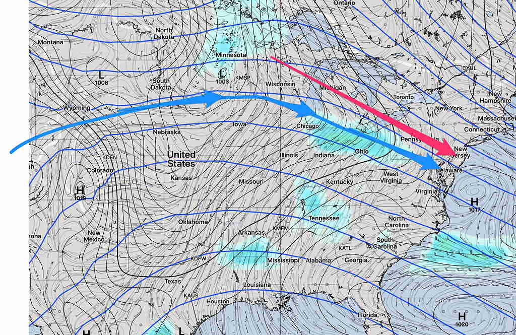
The current models runs are all showing showers and thunderstorms moving through here 3-5 AM Wednesday morning.  Some may be heavy.

Wednesday will have a mix of sun and clouds and a southerly flow will bring temperatures into the 70s.  The EKDMOS is showing 78º, but other models are in the low to mid 70s.

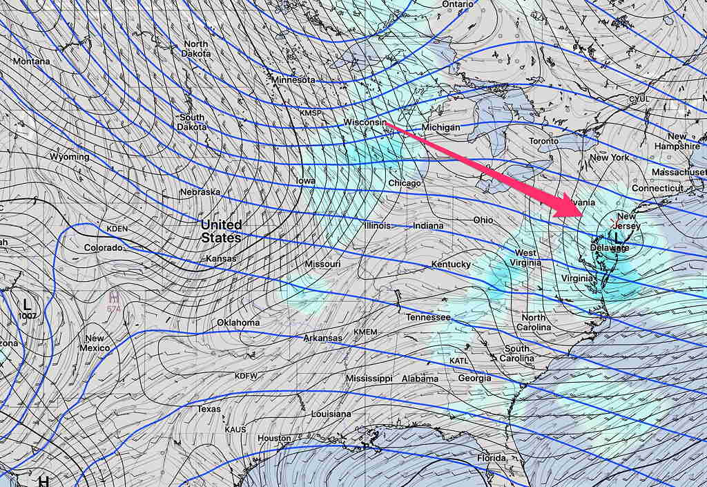
There’s another chance of showers and thunderstorms about 2-3PM  Wednesday afternoon.

Interesting weather for Thursday with a cold front.  I’ll tackle that tomorrow.

TUESDAY FORECAST

Updated 11:30 PM — Several of  tonight’s models have eliminated the noontime sprinkles and predict the bulk of the rain later in the day and evening will pass by to our south.  One HIRESW model version has light sprinkles as early as 2PM.


Today was likely the nicest day of the week.

The first of several impulses moving in from the west will approach on Tuesday.

Clouds move in during the morning hours Tuesday.

While the main impulse is expected to move in Tuesday night, the high resolution models show an initial slug of moisture and dynamics causing light sprinkles about 2PM Tuesday.   Total QPF 0.03 inches water.

That passes through leaving just clouds until evening, when somewhat heavier showers will arrive.   High temp about 64º.

Best time to get out and exercise is before noon, and possibly again in the mid-afternoon.

(Wednesday looks to have temperatures in the low to mid 70s.)

With Daylight Saving Time, the new models’  24 hour forecast data become available between 10 PM and 10:35 PM.  I’ll update later if necessary.

[su_note note_color=”#defcdc”]As mentioned in this morning’s post, we’re transitioning into a several day colder pattern starting this weekend.  Temps early next week may have highs in the 40s! [/su_note]

WEEK WEATHER OUTLOOK

Today will be a delightful sunny day with mild temps.  High temps 65-67º.  Today is a great time to get out an exercise.

The rest of the week will be unsettled as a mild temperature upper air ridge pattern changes to a chillier cyclonic upper trough pattern.   Several disturbances will move through from Tuesday through Friday during this transition.

The first will be late Tuesday.  The blue arrows show the upper air ridge contour and flow direction. The red arrow shows the path of the first and second disturbances along the edge of this ridge —

GEFS  Tuesday Forecast showing Upper Ridge and area of moisture/vorticity moving down along the ridge

By Wednesday, the first disturbance has developed a surface low over us —

GEFS Wednesday Forecast

By Friday, the upper ridge from earlier in the week has been replaced by an upper trough (blue arrows)  and cooler weather—

GEFS Friday Forecast showing Upper Cyclonic trough.