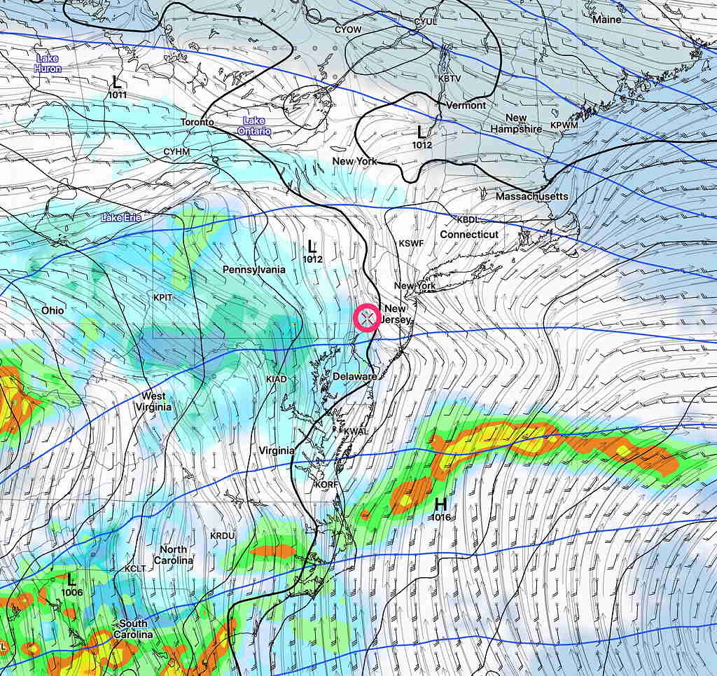
Updated Thu 08:34 AM — This morning’s models show little change from last night’s update. Considerable cloudiness, but breaks of sunshine possible during the day. Some models have some light sprinkles as early as 4 PM, but the bulk of the rain comes in 6- 8 PM.
Updated Wed 10:10 PM – Tonight’s models have the rain starting in the early evening instead of late afternoon. Still some sprinkles early morning, then clouds with occasional sunny breaks before the rain arrives 6-8 PM.
[su_note note_color=”#ffffff”]After those sunny skies today, I’m not going to use the RAP pre-release version until it’s ready for prime time. See my previous forecast post.[/su_note]
A well-advertised rain event will be moving in late in the day Thursday. Model runs earlier in the week had the rain starting early afternoon, but the trend has been for a light sprinkle around daybreak and then the rain moves in between 3- 5 PM. Most of the daytime hours will be cloudy but dry. (There are a good number of models that have the rain coming in a bit later than 5PM)
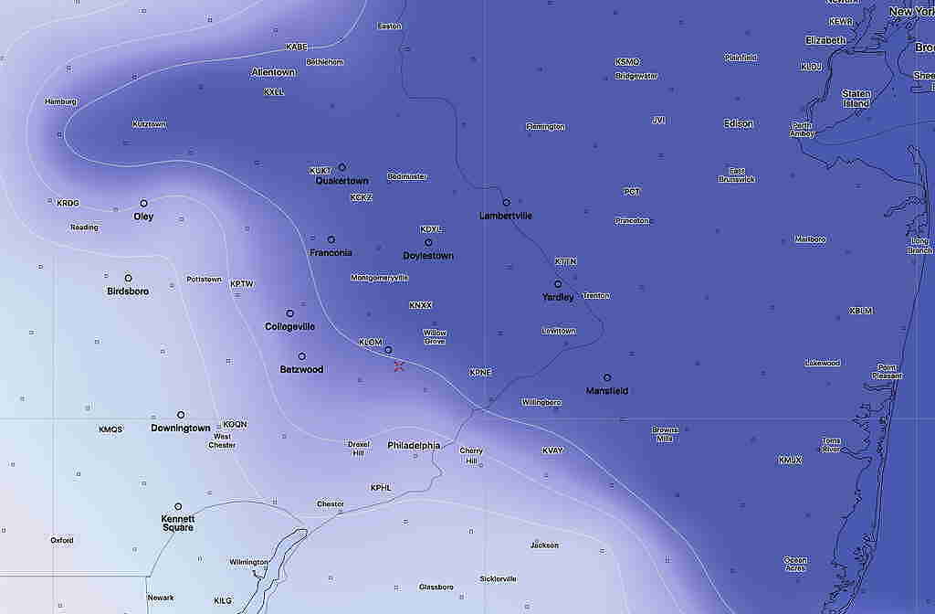
High temperature: 58.4º sd 3.8º Breezy.

The rain will be heavy Thursday night. About 1.5-2 inches of rain expected before ending Friday morning
The heaviest rain ends early Friday morning, but the GFS keeps clouds and some scattered showers through much of the daytime Friday. There’s some uncertainty whether skies clear Friday afternoon, but the GFS keeps us wet and it did well during the last rain that we had.


