Today will be a delightful sunny day with mild temps. High temps 65-67º. Today is a great time to get out an exercise.
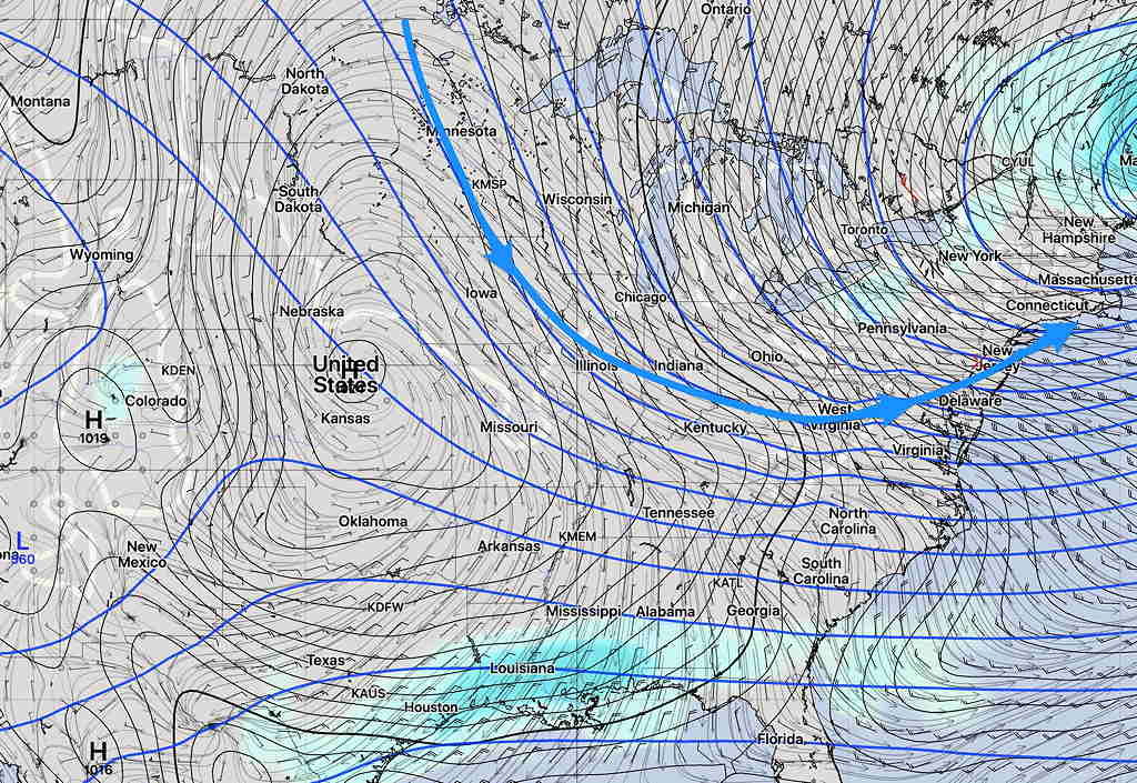
The rest of the week will be unsettled as a mild temperature upper air ridge pattern changes to a chillier cyclonic upper trough pattern. Several disturbances will move through from Tuesday through Friday during this transition.
The first will be late Tuesday. The blue arrows show the upper air ridge contour and flow direction. The red arrow shows the path of the first and second disturbances along the edge of this ridge —
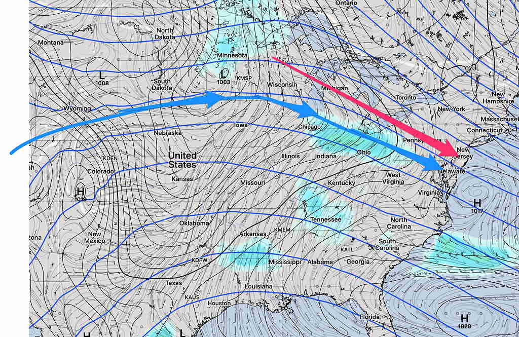
By Wednesday, the first disturbance has developed a surface low over us —
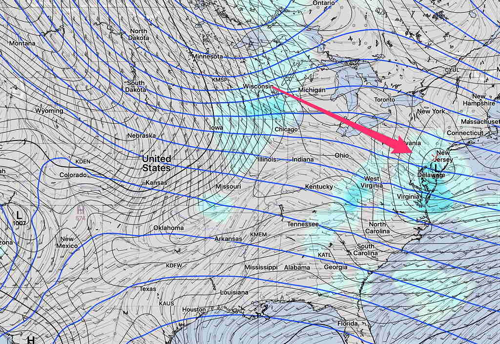
By Friday, the upper ridge from earlier in the week has been replaced by an upper trough (blue arrows) and cooler weather—