
Updated Mon 10:22 AM — We may see some sunshine after 3 PM today. High temp 56.5º sd 1.2º
An active Spring weather pattern this coming week, with several areas of low pressure affecting us.
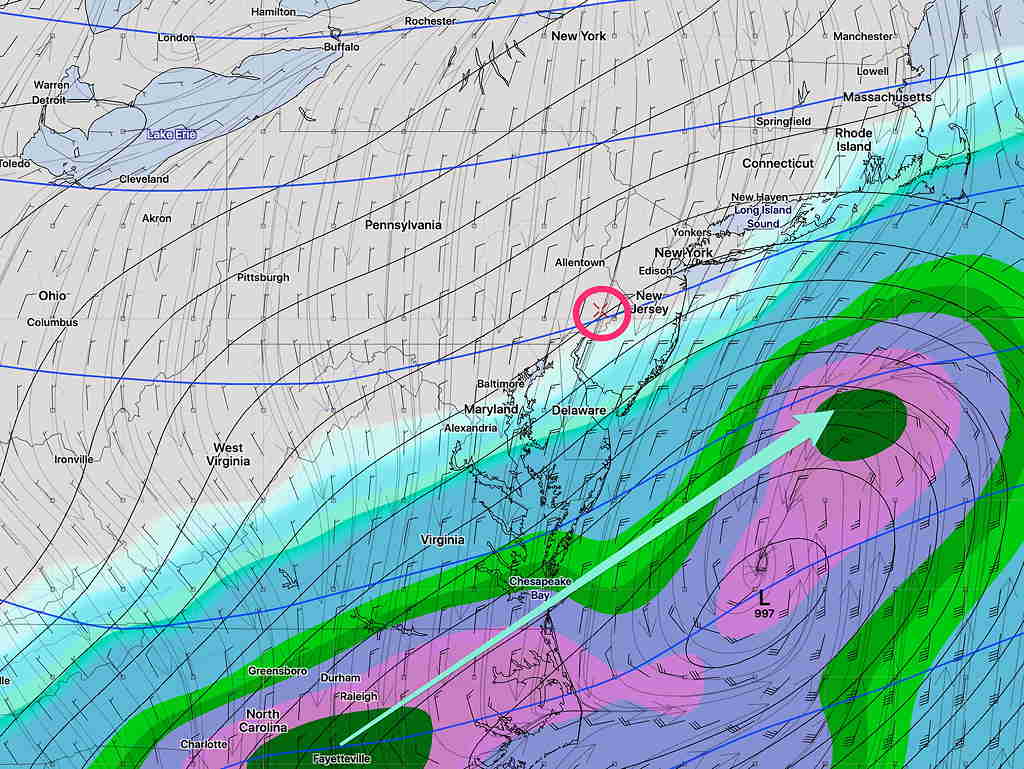
For Monday, low pressure will move just to our south, bringing cloudy skies until the mid to late afternoon. Partial clearing later in the afternoon. The precipitation shield as shown by the GEFS (below) likely will remain even further south than shown.
Monday will be mostly cloudy with a chance of light sprinkles, mostly far southern areas. Clouds may lift during the afternoon. High 57.2º sd 1.8º.
For Tuesday, a front moves through with showers—
Yet another more significant rainstorm approaches Thursday and is likely to linger into part of Friday —
We’ll see how it all plays out during the week.