Tonight’s models show sky conditions on Sunday to be similar to Saturday — considerable clouds much of the time, but breaks of sunshine and bright spots also possible. One version of the HIRESW has a lot more sunshine especially in the afternoon.
The NAM NEST has some fog early morning as well. Brief light sprinkles very widely scattered still a possibility.
Revised at 10:35 AM: The latest models just becoming available. The NAM-NEST and HIRESW have significant clouds with widely scattered light drizzle through about 3 PM. Then skies begin to clear with some sunshine.
That’s the weird thing about model forecasts. Last night, the HIRESW models looked better about the cloud cover for today. But the NAM-NEST accurately predicted the light drizzle we’re having now.
Strangely, the NAM-NEST had predicted more sun and much less cloudiness.
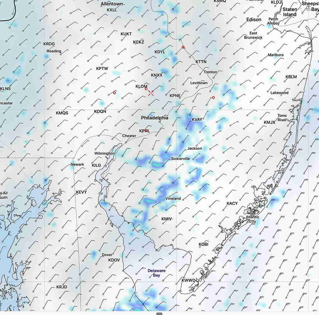
1 AM model run- NAM NEST Forecast for 10AM Saturday showing light drizzle and clouds (white)
Last night, I combined the HIRESW models and the NAM-NEST, and I got rid of the drizzle in the forecast. It didn’t work out!
The new NAM-NEST and HIRESW models will be available about 10:15 and 10:30 AM. I’ll update after they become available.