
Updated Tue 08:40 AM — The latest HRRR still has showers breaking out between 11AM and noon. The expected two lines of thunderstorms are becoming less distinct. Additional activity from 12 noon through 3 PM. Heaviest storms will be in New Jersey about 3 PM.
Updated Mon 10:30 PM — Tonight’s models have moved the two batches of storms a hour later. Starting about 11 AM and again about 2- 3 PM . High temp 60.6° sd 2.2° Higher sd (standard deviation) means higher uncertainty.
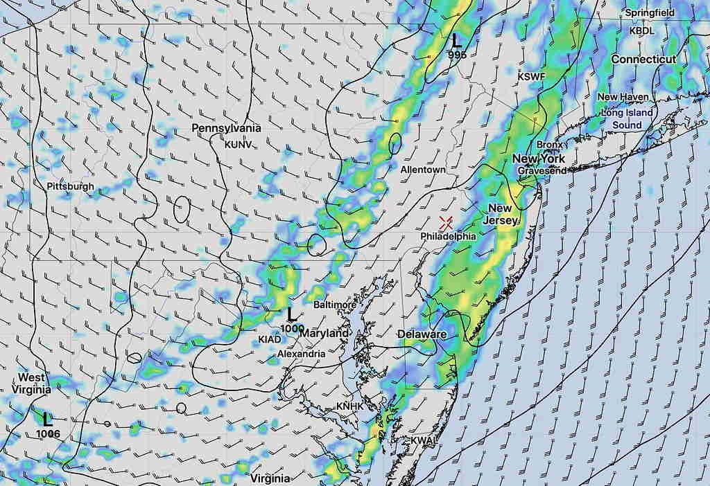
A strong cold front will pass through Philadelphia about 2-3 PM Tuesday. Ahead of the front will be showers and thunderstorms.
The models are suggesting that two lines of showers and thunderstorms will move through ahead of the front, one as early as 10 AM -12 noon and another between 12 noon and 2 PM. There may be a break of sun between the two groups of storms.
As usual, there are some differences in the timing of the showers.
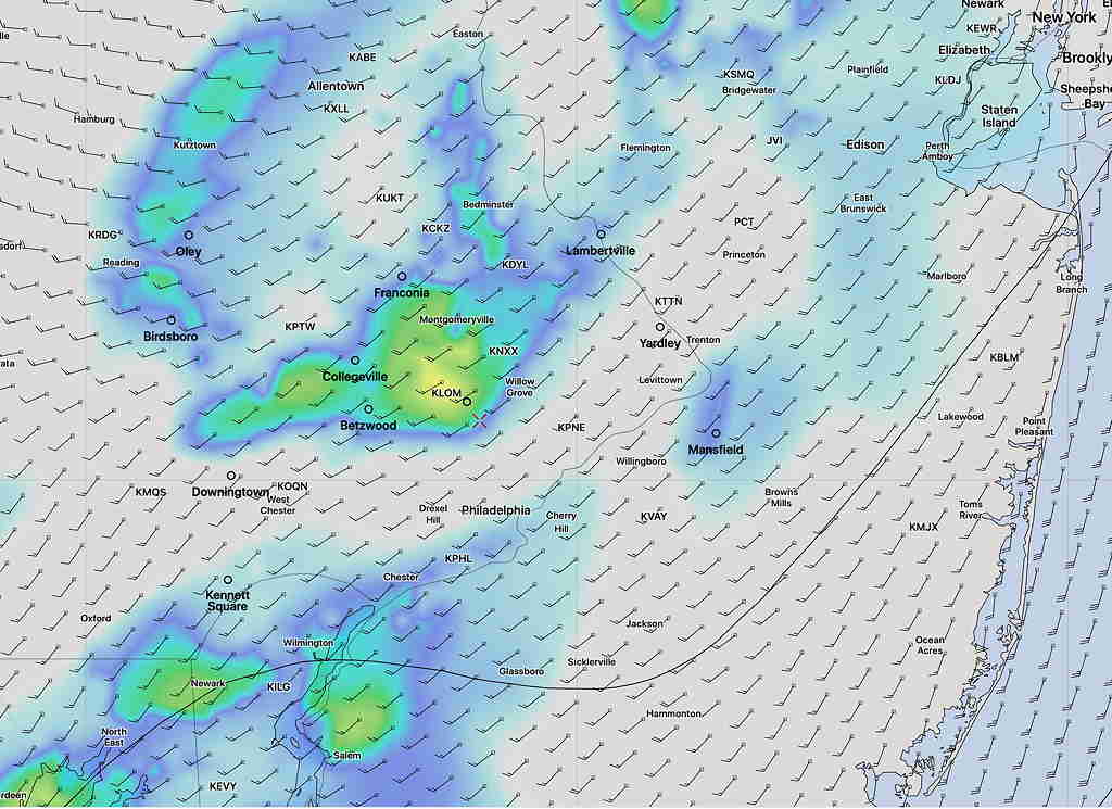
Today, I’m going to use the new, pre-release version of the HRRR (High Resolution Rapid Refresh) showing the two lines of showers—
The HRRR is showing a good chance of hail with these storms.
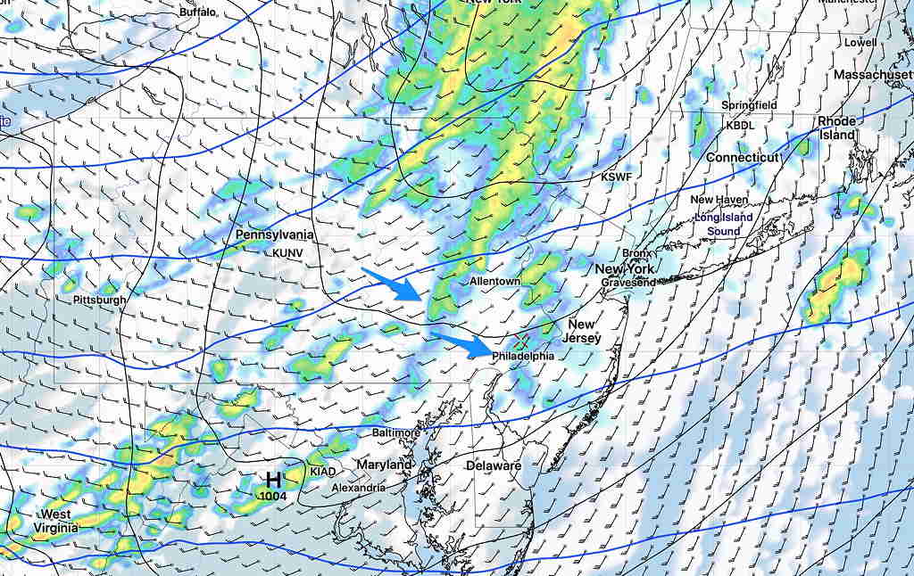
Some other hi-resolution models have more distinct lines of showers and thunderstorms.
Here’s the HIRESW-ARWMEM2 (boy, that’s a mouthful!) for 1 PM Tuesday showing more distinct lines of showers—
Total rainfall (QPF) is about 0.25-0.5 inches of rain.
I’ll update later with tonight’s models.