[su_box title=”Saturday Weather Update ” box_color=”#defcdc” title_color=”#000000″]No major change in the forecast. Sunday will be mostly sunny until the late afternoon. Rain Sunday evening will be light. Some flakes may mix in at the start in north of Trenton, but all rain otherwise.
Watching a more interesting system for Wednesday, with snow likely mixing and changing to freezing rain/sleet, then rain. Some snow accumulation likely Wednesday morning. Stay tuned. [/su_box]
[su_box title=”Weekend Weather Update ” box_color=”#defcdc” title_color=”#000000″]Saturday will be sunny and chilly. (Cancel the windy conditions.) High temperatures 42-43.
Sunday now looks to have some cloudiness in the morning, then sunny until later in the afternoon, when clouds move in. High 40. Rain, possibly starting with a few flakes of snow, in the evening/night (GFS).
There are differences between the NAM and GFS regarding QPF, but when it rains, nobody really cares if we get 0.10inches of rain or 0.30 inches. [/su_box]
Details from earlier today…
Let me preface this by noting that today was supposed to be cloudy. The models didn’t do too well yesterday. Let’s see how they do for the weekend.
A frontal system will move through early evening tonight. Only some cloudiness and a low chance of a sprinkle will accompany the front.
Colder air moves in for Saturday. It will be mostly sunny and windy. High 41.
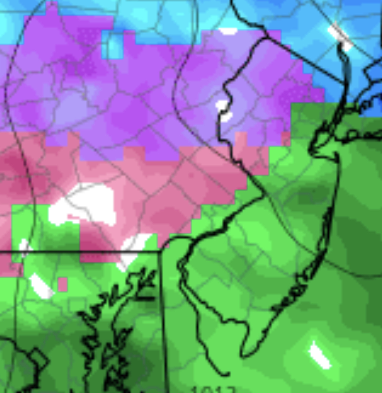
On Sunday, a weak and poorly organized low pressure system moves in later in the day. Sunday starts with some sun, but expect clouds to move in during the late morning. There are some timing differences with the models with the NAM having some light precip in the afternoon, while the GFS is later, into the evening.
Both the GFS and NAM are similar with QPF values of about 0.12 inches water. The precipitation will likely fall as rain or possibly rain mixed with snow, as high temperatures are expected to be about 39 and critical temperatures in the upper atmosphere are borderline too warm for snow.
There are enough model differences with this system, that I expect the forecast to change. Stay tuned.