This afternoon’s model runs continue to show a major snowstorm for Philadelphia and its suburbs, especially north and west of I-95.
There isn’t much to add to my previous posts from earlier today.
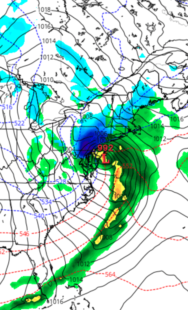
The thermal profiles, especially the NAM, make this storm to be mostly snow. Latest QPF values from the NAM is over 2.0 inches water! (24 inches of snow potential!). The GFS, as it almost always does, shows a lower QPF of about 1.0 inches ( 12 inches snow).
Usually in these situations, the NAM is overstating things, so for now, the average is 1.5 inches water. At a 10-1 ratio (which may be too low), we’re still looking at a potential 18 inches. With the thermal profiles getting colder Wednesday afternoon, the ratio will increase, so 18 inches might be conservative. This looks like it could be a major snowstorm if these numbers hold up.
Timing: Snow or a mix of rain and snow starts about 9 PM Tuesday evening in PHL. It will be light and may not accumulate much by morning, however, the storm will be forming before daybreak along the coast and snowfall will be increasing as temperatures in the upper atmosphere drops. Snow ends early evening Wednesday.
So why haven’t the regular TV people been on the bandwagon sooner? Not sure…I know they were heavily criticized for a poor forecast that impacted the Flower Show a few years ago. So my guess is they’re treading lightly.