HARD TO BELIEVE- SNOW BEFORE DAYBREAK MONDAY

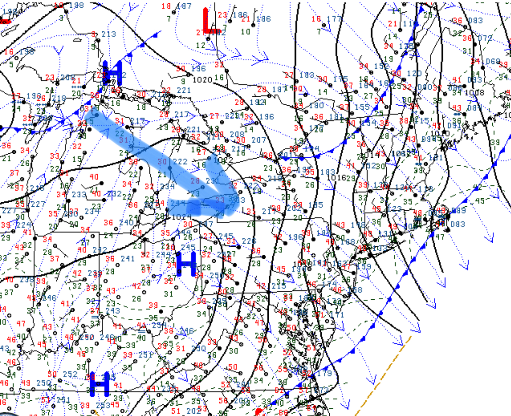
A front boundary that will move through tomorrow (Sunday) morning will stall to our south.   A wave of low pressure riding along the front will move through to our south late Sunday night into Monday morning causing snow to fall in April!

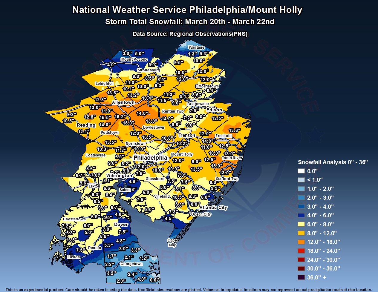
Like similar storms over recent weeks, dynamic cooling will result in enough cold air in the lower levels of the atmosphere for precipitation to turn to snow between 3 AM and daybreak.  Current QPF values are in the 0.40 inch range which translates into anywhere from 1 to 3 inches possible on grassy surfaces with some accumulation on roadways in the immediate PHL area and close to 5 inches  north  in areas around Allentown and Reading!

Temperatures warm during the day on Monday, and whatever falls will quickly melt.

Exact predicted QPF amounts have changed over the day today, so a final handle on this won’t be available until Sunday evening.

PHILLY WEEKEND WEATHER FORECAST

A front moved through on Friday and skies will clear for Saturday.

Surface map northeast
Current Surface Map Friday evening showing second front to move through Sunday 

Saturday will be mostly sunny and almost seasonable, with high temperatures near 57.

Another cold front moves through early Sunday with some cloudiness early morning, followed by more sunshine in the afternoon.  High 57.

Overall, a nice beginning for April.

Looking at the long range model forecasts, the first two weeks of April promise to be a dynamic period with a few outbreaks of cooler weather and several periods of rain.

SNOWSTORM POST-MORTEM

My previous post included the link for the official snow totals. I always like to evaluate my forecast to improve on future forecasts.

For the immediate PHL area, snowfall was between 7-11 inches and areas  somewhat further north and west, totals approached 15 inches.

With my call of 4-7 inches with an emphasis on “7 most likely”, my forecast fell short.  So what happened?

Official QPF measured at the airport yesterday was 1.06 water, somewhat higher than the 0.87 predicted by the NAM and higher than the GFS. But overall the models did well on QPF. (The actual snow total for just Wednesday was 6.7 inches at PHL airport, according to the NWS.)

My emphasis on solar insolation through clouds lead my forecast astray.  Had it been January, I would have predicted 8-10, which I mentioned in several posts.  So I learned yesterday that heavy snowfall rates trump solar effects, even in late March.

While the models did well on QPF, they did less well on wind. That was lucky for our region.  Temperatures were predicted well.

Mesoscale banding set up northwest of the city and snowfall was heavier in those areas.

I’m ready for Spring!

Final Two day snow totals