
#weather #paweather #wx #pawx #philadelphia #phillywx
Friday Update
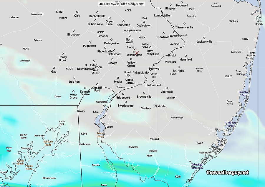
Update Fri 5/12 1:01 PM — A quick mobile update. The latest NBM is insistent on showers in the PHL area on Saturday. Several models keep them to our south, only affecting southern Chester and Delaware counties. Update this evening.
Forecast Update
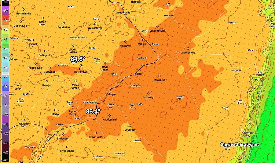
Update Thu 5/11 9:57 PM — Hazy sunshine through a high thin cirrus cloud layer on Friday. High 85°-87°.
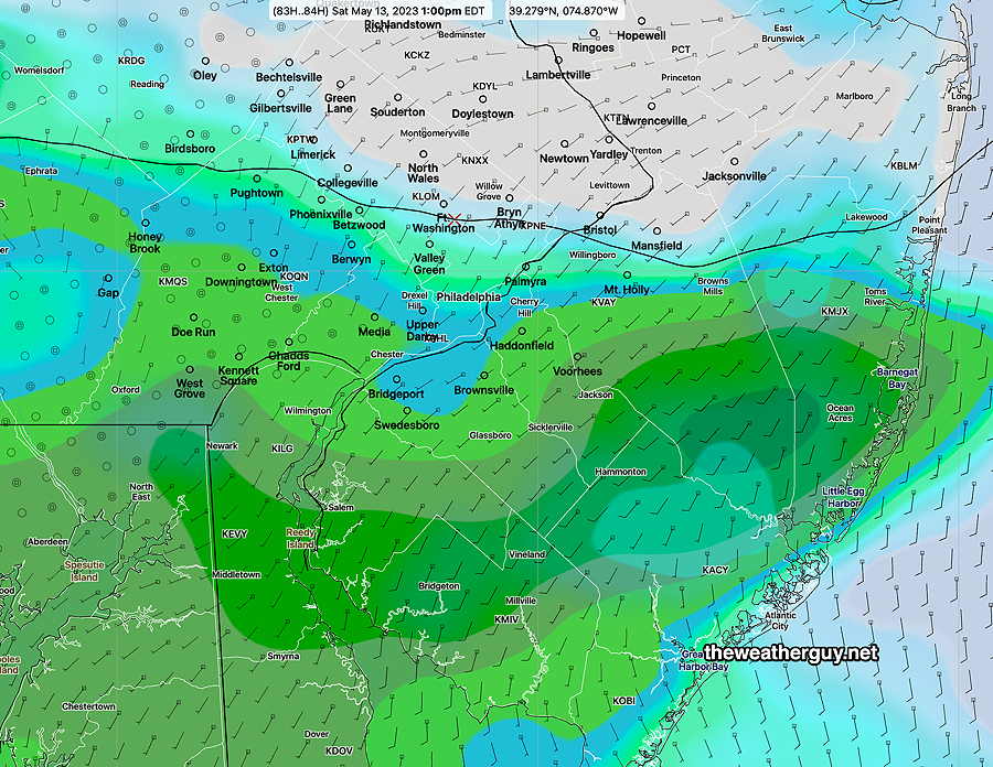
There’s still uncertainty with the northern extent of the light rain on Saturday. Philadelphia remains on the northern edge of the rain shield. Typical rain totals range from zero to 0.3 inches, depending on the model. The Canadian models and the latest HRRR consistently keep us dry. Tonight’s Model Blend (NBM) has 0.2-0.3 inches.
I’m leaning towards the drier forecast at this time.
Thursday Forecast Update
Update Wed 5/10 10:47 PM — After today’s blue skies, Thursday will have sunshine through high cirrus clouds for much of the day, as moisture aloft moves over the upper ridge.
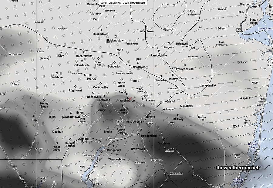
I’ve been keeping my eye on Saturday. The longer range global models have rain showers Saturday morning into early afternoon. The few higher resolution models whose forecasts extend that far (NAM, RGEM) keep the showers to our south, even further south than the RGEM graphic posted immediately below. I’m leaning towards the drier forecast for Saturday at this time, but with much above average uncertainty.
Wednesday Forecast
Update Wed 05/10 @ 8:22 AM — No change in the forecast for Wednesday (today) through much of Friday. Friday will have hazy sunshine through increasing high clouds (cirrus); mid-level clouds move in late afternoon Friday.
In keeping with our new pattern of dry weather, most of the showers on Saturday will be to our south, in Delaware and South Jersey. Areas from north of the city and northward may be just cloudy.
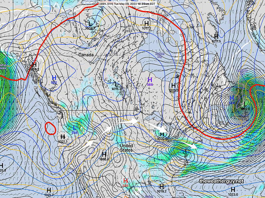
Our weather this coming week will be controlled by an upper air ridge with a disturbance moving over the top of the ridge towards us on Tuesday—
This Tuesday system doesn’t look like a big rain maker. In fact, after the major rains (3-5″) of 8 days ago, it appears that we may even be entering into a much drier pattern for awhile.
Following Tuesday’s showers, high pressure builds in and fairly nice and tranquil weather is expected into at least Saturday.