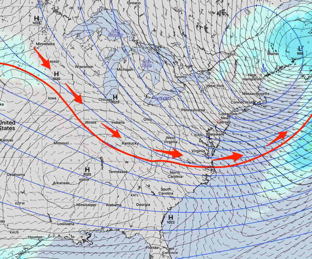
[su_note note_color=”#ffffff”]Updated Wed 07:50 AM — Last night’s models continue with the very light precipitation late in the day or evening. Areas far northwest, west and south will have more rain, but the immediate PHL area and its suburbs seem to be in the ‘donut hole’ where the precip rotates around it and then away from it. So really mostly cloudy here, maybe some non-accumulating drizzle for much of the day.
This means that the Global models (GFS, CMC) did much better than the high resolution models yesterday forecasting this system. Last night’s model blend (NBM) with a very light QPF of 0.03 to 0.07 inches of rain looks like it might have hit the bullseye. [/su_note]
[su_note note_color=”#ffffff”]Updated Tues 09:58 PM — Tonight’s models have shifted to the lower range of less than 0.10 inches of rain. High temp 53.6° sd 2.0° [/su_note]
Another wave of low pressure is expected to pass to our south and east on Wednesday. There is some uncertainty about how much precipitation will affect our immediate area.
Many of today’s global and lower resolution models have the dynamics of this storm remaining to our south and west, bypassing the immediate PHL area. The model blend (NBM) reflects this with a total QPF of 0.03 to 0.07 inches of rain.
On the other hand, the latest HRRR and HIRESW-FV3 bring much more moisture and vertical lift into our area and have QPF values of 0.30 to 0.40 inches of rain. A difference of a factor of 5-10 doesn’t inspire confidence with this forecast.
Tuesday will be cloudy. The models agree that most of the precipitation will occur after 2PM. High 54º.
The newer models, based on the new upper air measurements done at 8 PM EDT, will start to become available after 10 PM. I’ll update later.

