Updated the Sunday forecast below with the newer model data.
The HIRESW model forecasts did pretty good today. We had sprinkles in the morning and again later in the afternoon and evening. In between, we had clouds and sun.
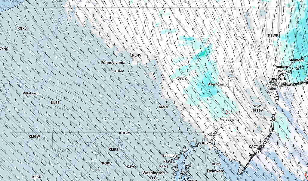
Tonight’s 24 hour high resolution model data just became available.
Saturday— The models are showing the Atlantic low pressure system to still be affecting our weather on Saturday. Saturday will be similar to today in terms of cloud cover— periods of clouds and maybe some breaks of sun. The RAP model and one version of the HIRESW have it quite cloudy for most of the day. Another version of the HIRESW and the NAM -NEST have clearing breaks in the clouds later in the afternoon. Less windy as well and winds become southerly late afternoon. Highs 56-58º.
For Sunday— the low pressure system departs. Southerly winds will bring milder temperatures. A mix of clouds and sun and perhaps some sprinkles in the late afternoon as a very weak front moves through. High 67-69º.
As mentioned on Tuesday’s post, low pressure to our east will retrograde westward.
Any storm over the Atlantic moving westward is coming from a location where limited weather measurements can be made. As a consequence of this, modeling the moisture and structure of a storm will be even more challenging and less accurate than usual.
Such is the case on Friday with the various models showing a range of cloud cover and varying locations and timing of light drizzle or sprinkles.
So confidence in this forecast is below average.
The best forecast now is for periods of cloudiness with scattered light sprinkles or drizzle in the morning and late afternoon. Some high resolution models have breaks in the clouds (some sun) at various times. Total precipitation will be very light. 0.03 inches. Windy. High 51-54°.
Precip most likely early to mid-morning and again late afternoon Into evening.
There is no recommended best time for exercise. 11-2 pm is a good guess based on tonight’s HIRESW models. But check radar during the day.