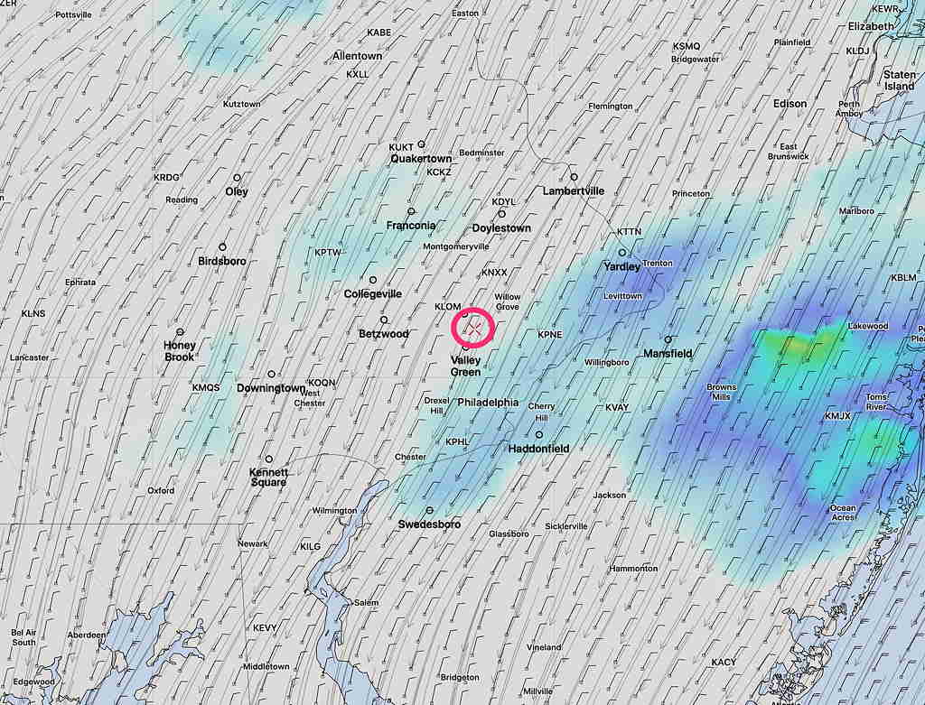
[su_note note_color=”#ffffff”]Updated Sat 08:59 AM — The pre-dawn model runs are a little more optimistic about the sunshine today. The GFS has only high level (cirrus) cloudiness until lower clouds move in later in the afternoon; the high resolution models have thicker mid-level cloudiness as early as 2 PM. More clouds far north and west, less cloudiness in NJ. High temp 63.8º sd 1.5º. Very light winds [/su_note]
Today’s rain lasted longer than forecast.
Tonight’s models suggest a change in the forecast for Saturday. Saturday was originally expected to be mostly sunny for a good part of the day.
Tonight’s models are forecasting increasing cloudiness much earlier in the day. Saturday may start sunny, but it appears that high and then mid-level cloudiness will start moving as early as 12 noon. There may be some bright spots in the cloud cover mid-afternoon, but overall cloudy. (New Jersey may have more sun.)
High temperature 63.5º sd 2.3º. Light winds.
Sunday will be cloudy with rain, heavy at times, especially mid-day. High 55.5º sd 4.5º (high spread in possible highs)

