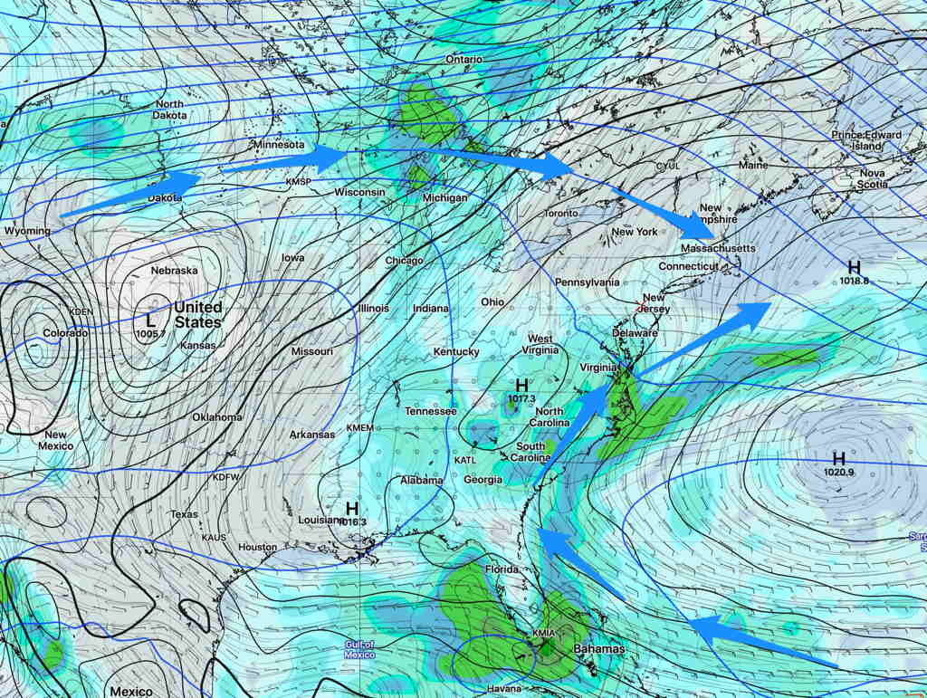
A weather pattern change is coming. For the past two to three months, we’ve had a persistent weather pattern characterized by an upper air trough with the upper flow coming in from the northwest, as shown below (from June 24th).
GEFS forecast for fourth week in June
The usual “Bermuda High” that we always hear about in summer was nowhere to be found.
Starting this coming weekend, a more typical summertime pattern is forecast to develop with the upper trough we’ve had transitioning to an upper air ridge and a Bermuda High bringing a southwesterly flow of hot and humid air to our area.
GEFS forecast for this coming Sunday, showing an upper ridge and Bermuda High (Click on image for a larger view.)
Temperatures are expected to move from the current highs of the mid to upper 80s to much hotter high temperatures in the low to mid 90s with higher humidity. (Current average high temp is 86º)
Sat 07:42 AM Update — The models are more optimistic about sunshine for Saturday. Still a good chance of showers and thunderstorms about 4-7 PM, but they will be scattered and not every area will get one.
Following a very rainy Friday from tropical storm Fay, we could all use some sunshine for the weekend. It appears we may have to wait for Sunday for that really nice weather.
The models show an extremely moist and unstable air mass remaining over the Philadelphia area for much of Saturday before a weak ‘cold’ front moves through later in the afternoon.
Considerable low level moisture will produce low clouds Saturday morning. Any breaks of sunshine around noontime may result in widely scattered showers and thunderstorms. More organized shower and thunderstorm activity is likely between 4 and 7 PM on Saturday as the weak front moves through. Highest chances north and west. There are model differences regarding the amount of cloudiness/sun and also temperatures.
Saturday—
Mostly cloudy in the morning some sprinkles possible, a mix of sun and clouds in the afternoon. Low confidence on the cloud cover
Widely scattered showers/thunderstorms during the afternoon, especially 3-6 PM.
High temps 88.9º sd 2.2º. Very humid, dew points above 70º
Winds SW–> W 10-15 mph with gusts to 25 in the afternoon.
Sunday—
Mostly sunny
High temp 89.8º sd 3.0º (high spread, uncertainty)