An upper air disturbance moves through this evening, between 10 PM and 2AM.
Yesterday’s models picked up on this, but had the storms affecting the far western suburbs and falling apart as they entered the immediate PHL area. This morning’s NAM-NEST continued to have the storms falling apart, while the HIRESW model had them affecting PHL.
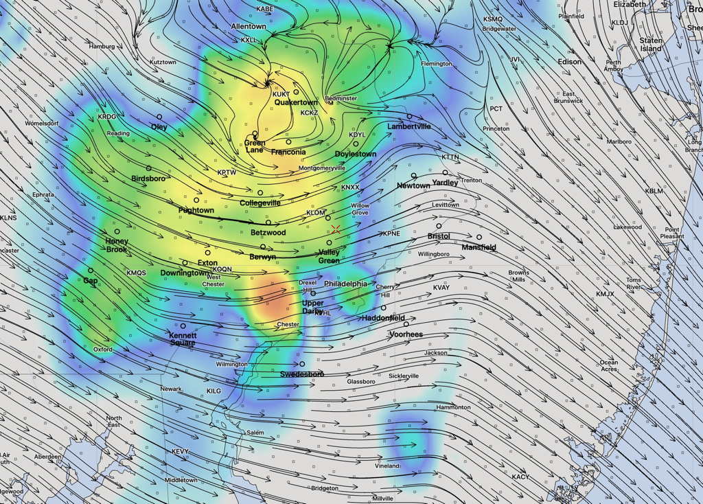
This afternoons’s models have been on-board with more of the PHL getting some scattered heavy thunderstorms. Not all areas will see these storms, but this afternoon’s models just becoming available show some isolated areas of heavy rain and even some hail possible. The storms will be fast moving.
Here’s the HRRR model simulated Radar forecast at 11 PM with storm motion streamlines—
(The location of the storms in simulated radar forecasts can’t be taken literally. It’s just a model.)