TUESDAY FORECAST

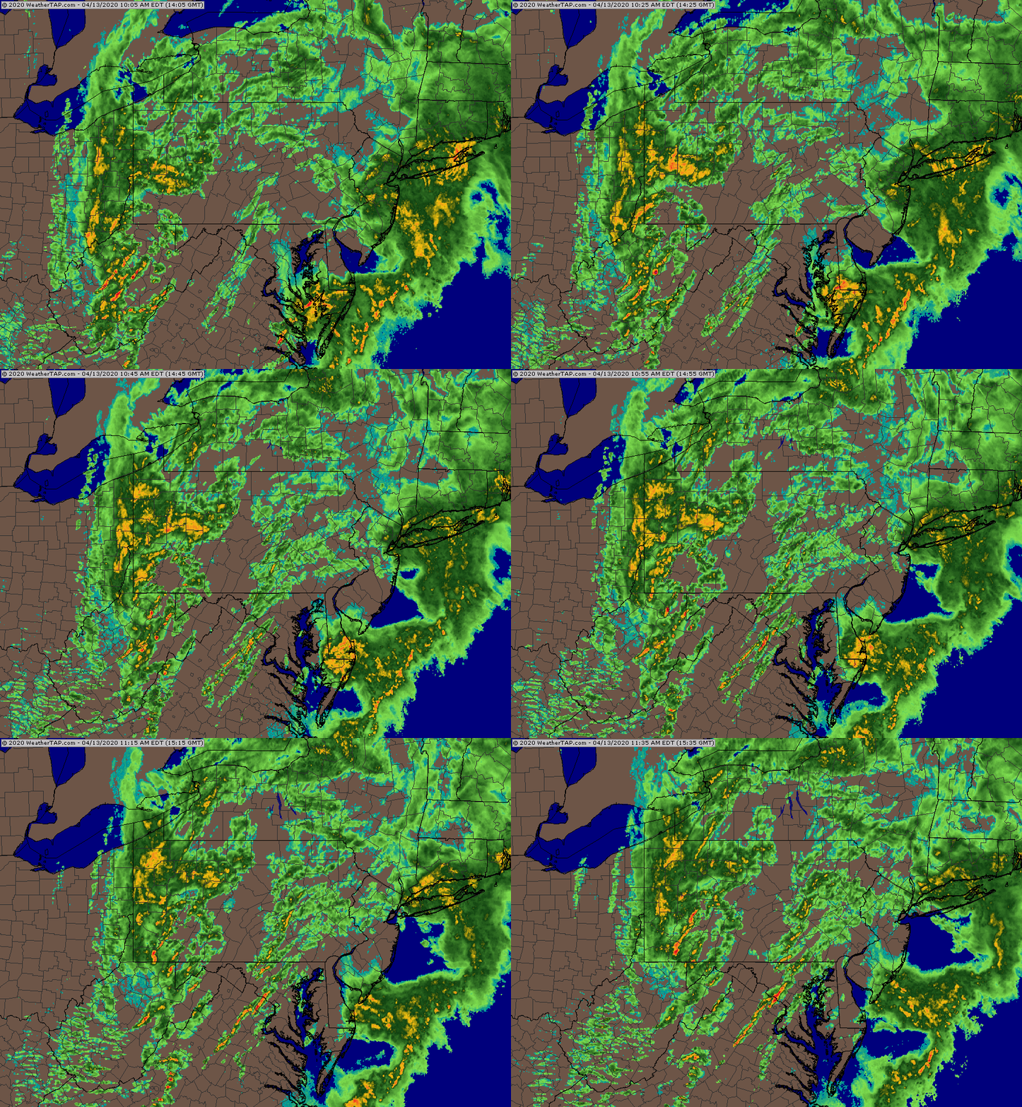
Updated Tue 08:40 AM — The latest HRRR still has showers breaking out between 11AM and noon.   The expected two lines of thunderstorms are becoming less distinct.  Additional activity from 12 noon through 3 PM.  Heaviest storms will be in New Jersey about 3 PM.

7AM HRRR model showing thunderstorms developing at 11:30 AM today.  Click on image to enlarge

Updated Mon 10:30 PM — Tonight’s models have moved the two batches of storms a hour later. Starting about 11 AM and again about 2- 3 PM . High temp 60.6° sd 2.2°  Higher sd (standard deviation) means higher uncertainty.


A strong cold front will pass through Philadelphia about 2-3 PM Tuesday.  Ahead of the front will be showers and thunderstorms.

The models are suggesting that two lines of showers and thunderstorms will move through ahead of the front, one as early as  10 AM -12 noon and another between  12 noon and 2 PM.  There may be a break of sun between the two groups of storms.

As usual, there are some differences in the timing of the showers.

Today, I’m going to use the new, pre-release version of the HRRR (High Resolution Rapid Refresh)  showing the two lines of showers—

HRRR version 4.0 pre-release version Simulated Radar and Showers forecast 11 AM Tuesday

The HRRR is showing a good chance of hail with these storms.

Some other hi-resolution models have more distinct lines of showers and thunderstorms.

Here’s the HIRESW-ARWMEM2 (boy, that’s a mouthful!) for 1 PM Tuesday showing more distinct lines of showers—

HIRESW-ARWMEM2

Total rainfall (QPF) is about 0.25-0.5 inches of rain.

I’ll update later with tonight’s models.


MONDAY FORECAST & WEEK WEATHER OUTLOOK

Updated Mon 10:22 AM — We may see some sunshine after 3 PM today.  High temp 56.5º sd 1.2º


An active Spring weather pattern this coming week, with several areas of low pressure affecting us.

For Monday, low pressure will move just to our south, bringing cloudy skies until the mid to late afternoon.  Partial clearing later in the afternoon.  The precipitation shield as shown by the GEFS  (below) likely will remain even further south than shown.

Monday will be mostly cloudy with a chance of light sprinkles, mostly far southern areas.  Clouds may lift during the afternoon. High 57.2º sd 1.8º.

GEFS model precipitation forecast for Monday 10 AM


For Tuesday, a front moves through with showers—

GEFS Tuesday forecast 2:30 PM

Yet another more significant rainstorm approaches Thursday and is likely to  linger into part of Friday —

GEFS Friday 4 AM forecast

We’ll see how it all plays out during the week.