WEDNESDAY FORECAST

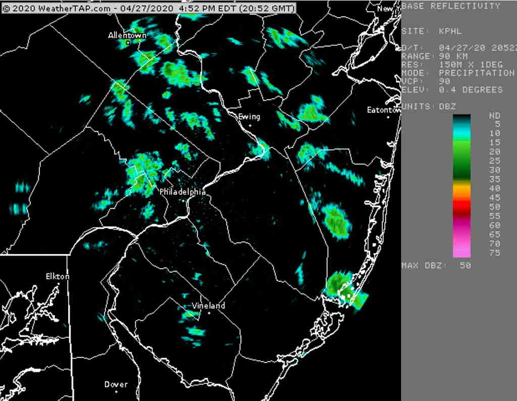
Low pressure in the Midwest will rotate an upper air disturbance and moisture through our area tonight.  Very light showers or sprinkles expected before daybreak and should be ending shortly thereafter.

The models have a wide range of cloud forecasts for Wednesday. Some models have it cloudy, some have a mix of clouds and sun in the morning to around noon, then increasingly cloudy in the afternoon.

I’m going with the cloud-sun mix for much of Wednesday, then becoming cloudy in the mid to late afternoon.  It will be increasingly windy and gusty during the day, SSE winds. High temp 62.6º sd 1.6º.

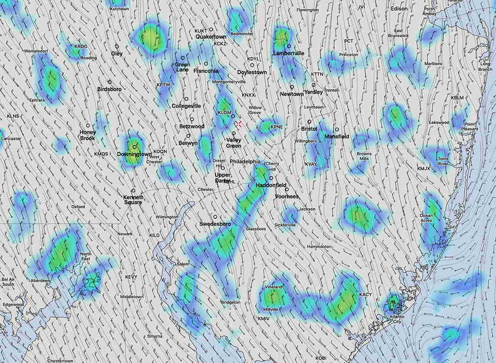
Light showers or drizzle may break out late afternoon or early evening as a warm front approaches.

Thursday looks to be an active weather day. Stay tuned.

MONDAY FORECAST

[su_note note_color=”#ffffff”]Updated Mon 04:58 PM — Sometimes the weather model forecasts are just terrible. Often, they’re incredibly impressive. Here’s today’s KPHL radar at 4:52 PM; compare to the weather model simulated radar graphic in the update just below.

Terminal Doppler Weather Radar KPHL at 4:52 PM today       Courtesy WeatherTap.com

[/su_note]

[su_note note_color=”#ffffff”]Updated Mon 11:58 AM — Despite the appearance of cloud thinning right now, all of this morning’s short range models have scattered sprinkles/showers breaking out late afternoon (~4PM).

HIRESW Simulated Radar 4 PM.  (Exact placement of radar rain is never literally exact.)  Click on image for larger view.

[/su_note]

[su_note note_color=”#ffffff”]Updated Mon 07:48 AM —Last night’s models suggest some partial clearing possible very late afternoon or early evening Monday.

After more rain Wednesday into Thursday, a change to a much warmer, more Spring-like weather pattern is likely to start this weekend, although plenty of showers are still showing for next week.[/su_note]

Surface low pressure slowly moves away on Monday, but an upper air trough swings through during the afternoon.

Monday will be cloudy with spotty light showers or drizzle.  It will remain very cool.  Highest chance of showers is in the morning and again mid to late afternoon.  High 51.2º sd 2.1º

Clearing will wait until Tuesday morning but more clouds may move in Tuesday afternoon ahead of the next system.