WEEKEND WEATHER FORECAST

[su_note note_color=”#d9f2da”]Sat Evening Update: Skies clear early Sunday morning, based on the latest models. [/su_note]

The forecast is little-changed from the forecast “outlook” I posted yesterday.

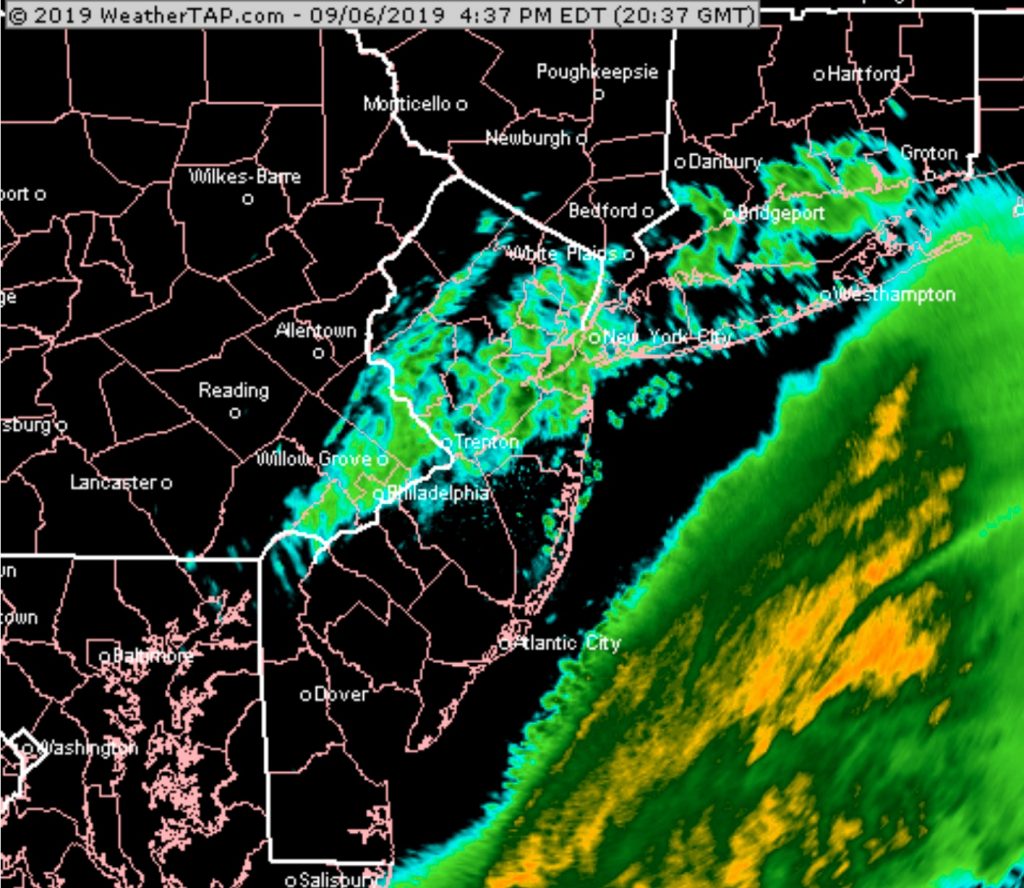
Friday’s easterly flow will shift to a southeasterly flow ahead of a warm front that attempts to move through Saturday.

Saturday will be quite cloudy; any showers are expected to hold off until Saturday evening and Saturday night.  High 76.

A weak cold front moves through late Saturday night or just before daybreak on Sunday accompanied by light showers.  The front slows as it passes through.

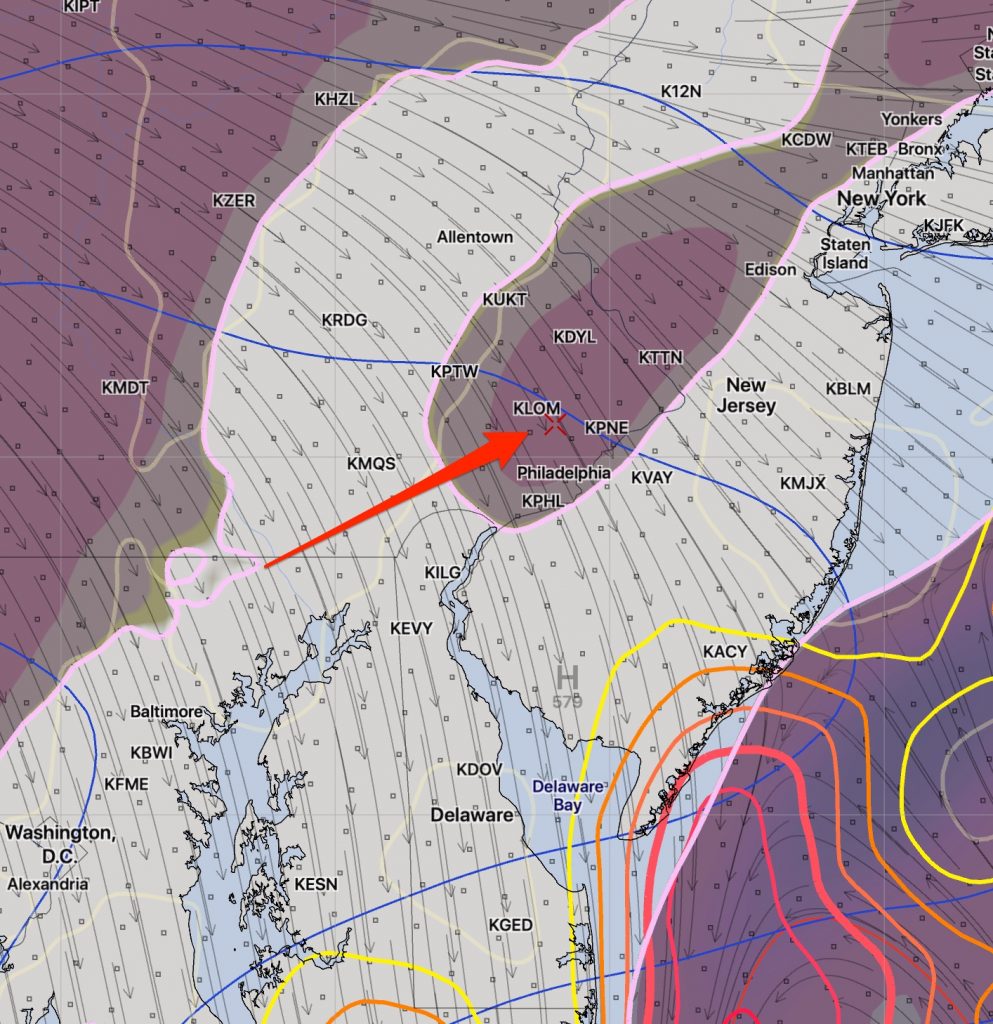
Most models have clearing early Sunday morning, but the latest NAM suggests that some cloudiness may linger into mid or late morning Sunday and longer at the shore.

Sunshine is expected by Sunday afternoon with high temperatures about 82.

Tropical Storm (#09) is expected to intensify off the Georgia/South Carolina coastline.   Most models have it blocked from moving north, up the coastline.  It may become a Category 1 Hurricane.

COAMPS-TC Experimental model Forecast and Track

Tropical storms seem to reduce the accuracy of the model forecasts.  We’ll see how it goes this weekend.

WEEKEND WEATHER OUTLOOK

High pressure will build in to our north Friday and an easterly flow will bring cool temperatures and a significant amount of cloudiness on Friday.

Even more cloudiness is expected on Saturday as the high pressure system moves off to our east and the winds become southeasterly ahead of a warm front.  Some showers, widely scattered, are possible on Saturday as well, although much of the area will be dry.

A weak cold front moves in later Saturday and Saturday night with some showers.  Another high pressure system moves in for Sunday bringing more sunshine, although there are model differences about the amount of clearing we get on Sunday.

Complicating the forecast  is another tropical system that may form near Florida over the weekend and follow a track somewhat similar to Dorian.  This system is not expected to intensify anywhere near the level of Dorian.  The model forecast reliability often seems to be negatively impacted  by a tropical system in the area.  Stay tuned.