WEATHER UPDATE 6PM

7 pm Saturday-Well, I wrestled with this storm and my usual approach led me to a somewhat poor forecast .  Snow has picked up in intensity and temperatures have dropped to 32. Temperatures in the lower levels of the  atmosphere prevailed  Maybe I’ll get another chance this season?


The forecast from last night and this morning remains on track-  “After an initial start as light snow between 4-6 pm, it appears to be a mostly sleet and rain storm in Philadelphia and its immediate suburbs before changing back briefly to snow before ending about 2 AM.”

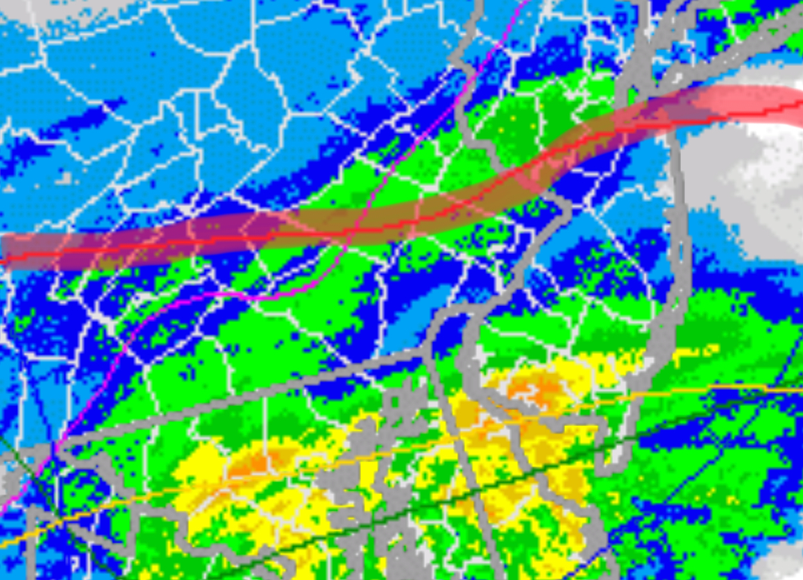
While the lower levels (below 6000 feet) of the atmosphere are below freezing causing sleet and some snow to mix in,  the average temperature of the mid level of the atmosphere (below 18,000 feet)  is too warm to support snow formation.  Add to that the warm ground conditions from earlier today and little accumulation is expected in PHL and the immediate suburbs.

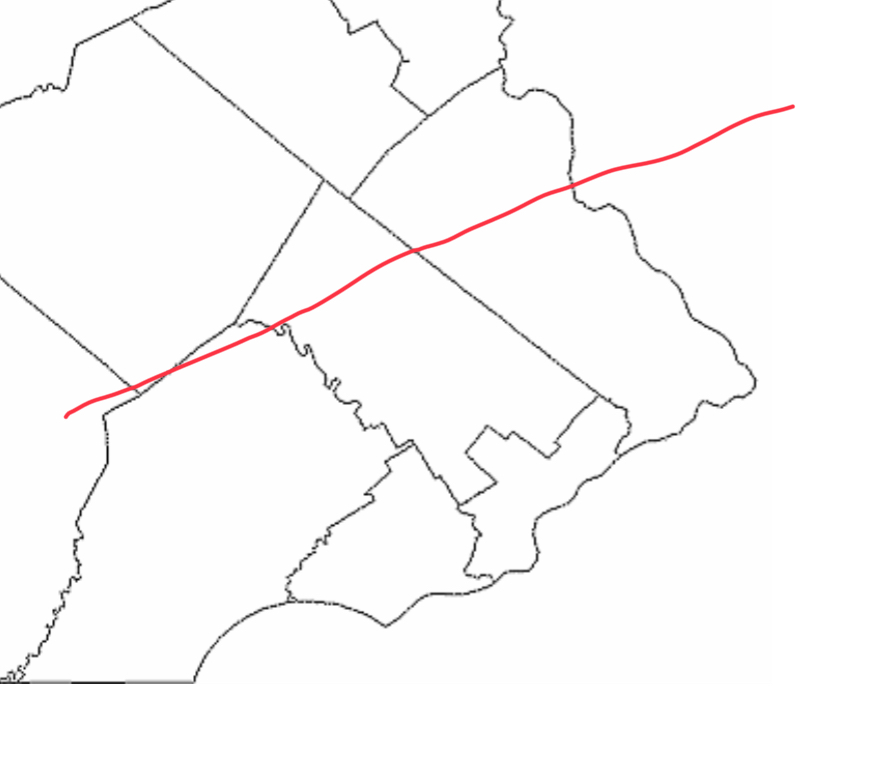
Below is the current radar at 5:51 PM with the area of mostly rain/sleet south of the red line.  (Sorry, difficult to see the county boundaries)

WINTER WEATHER UPDATE- MOSTLY RAIN FOR PHL

The last night’s 06Z  data has become available- both the NAM and GFS models have increased the QPF values to an average of about 0.50 inches water.

This morning’s NAM data also becoming available- the trend is for heavier QPF, and warmer atmosphere!

The NAM has increased the average temperature of the mid-level of the atmosphere to a level that is too warm for snow formation for much of the storm in Philadelphia and immediate northwest areas, as depicted by this map.  (Lower levels of the atmosphere (except at ground level) are at or below freezing, allowing sleet at times.)

Areas south of the red line- mostly rain, maybe some sleet.

Here’s the current best forecast-

Precipitation starts between 4-6 PM today, possibly as light snow or a mix of rain, sleet and snow.

A changeover to rain and rain-mixed with sleet will occur early.  Much of what falls will be rain and possibly some sleet;  at times, some snow may mix in at peak intensity if dynamic cooling occurs.   This event will be mostly wet, not white, in the area depicted south of the red line  in the inset map.

Precipitation may changeover to a brief period of light snow before ending about 2 PM.

Accumulations- zero to a coating, mostly on grassy surfaces.