
Updated Sat 10/15 10:15 PM —As forecast on Friday, an upper air disturbance rotating around the upper low will bring mid-level cloudiness here on Sunday morning until about noon, then becoming sunny. Clouds move back in early evening ahead of the next system.
Previously Posted Fri 4:05 PM —
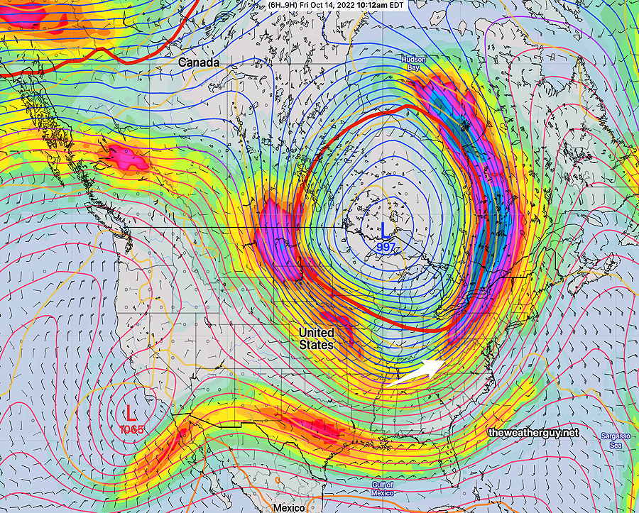
A fairly simple forecast. High pressure will bring sunny, mild weather to our area Saturday and Sunday while a somewhat stationary upper air low pressure system remains over the Great Lakes. (Seasonal average high temps for this weekend are 64º-66º.)
Saturday
Fair skies and mild temperatures. Some breezy conditions in early afternoon.
High temperature 70.5º sd 1.2º NBM model Blue Bell, PA
A weak front rotates through Saturday evening. Sunday will be a bit cooler.
Sunday
Some cloudiness possible in the morning, then mostly sunny. Increasing high clouds late afternoon.
High temperature 66.4º sd 2.0º NBM model— Blue Bell, PA