Category Archives: Weather Updates

WEATHER UPDATE

Brief Update: Rain and showers are expected throughout Saturday.  About 0.5 inches of rain expected.

There is still uncertainty about some aspects of Sunday’s forecast.

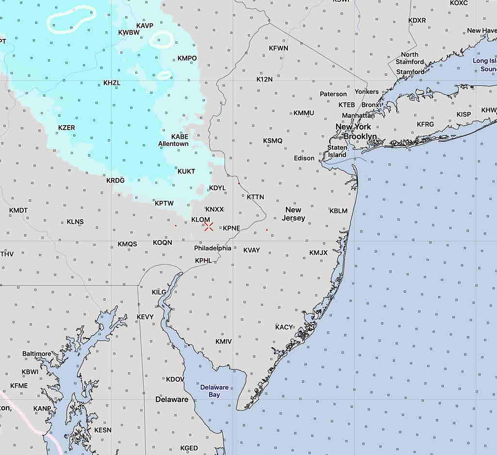
This morning’s models have light scattered showers in the morning Sunday.

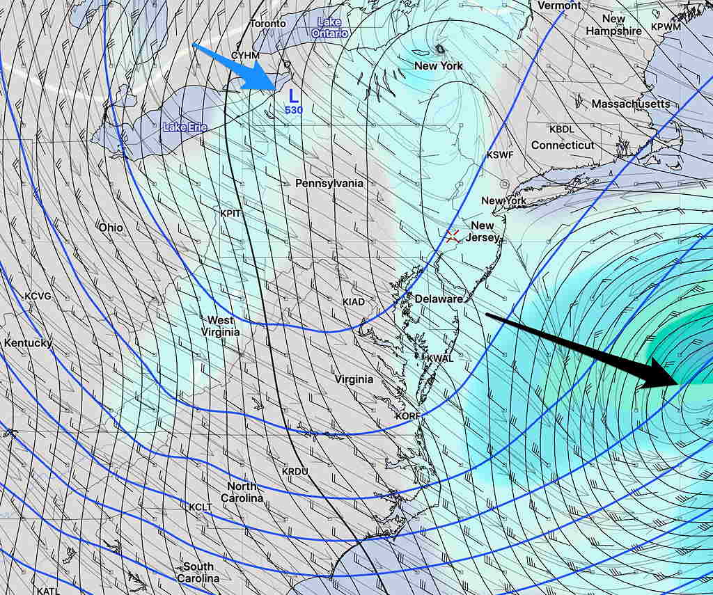
For Sunday afternoon, the GFS has the warm front moving through about 3-5 PM with a significant upper air ‘short wave’ moving through.  Showers and thunderstorms are likely with this potent area of localized vorticity

GFS showing short wave, (dip in the blue line)  (arrow) in the upper air flow

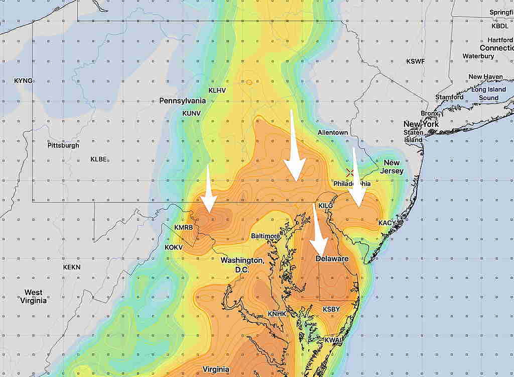
The energy for the most thunderstorms, as measured by the parameter called CAPE (convective available potential energy) is indicated in the darker shades of orange below; notice it is mostly south and west of our immediate area—

GFS CAPE forecast for Sunday at 4 PM

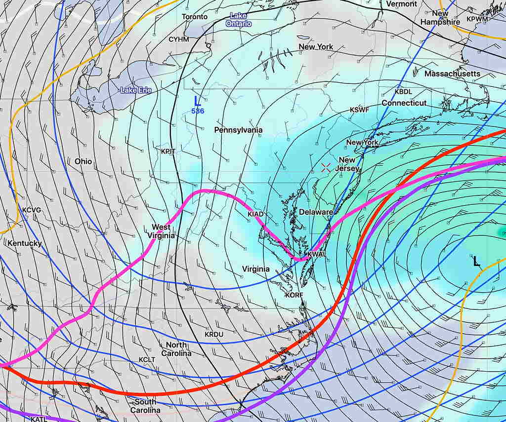
It’s important to note that the NAM model and  NAM-NEST models suppress this wave to our west and south and keep an easterly flow until 7 -8 PM, reducing the chance of thunderstorms here and delaying the warmup somewhat.

We’ll see how this unfolds with future model runs.

Stay safe and healthy.

WEATHER UPDATE FOR FRIDAY

[su_note note_color=”#defcdc”]The mystery of why the models are showing rain instead of snow has been solved.  The models are forecasting a layer of warm air in the lowest 1500 feet of the atmosphere.[/su_note]

The Friday storm discussed earlier this week still remains a forecast challenge.  Let me start by saying that ALL models currently forecast rain, not snow, for our area because near surface temperatures are expected to be well above freezing.

That said, there are many model parameters that historically predict snow for us and many features that still need to watched.

Basically a low pressure system was expected to come together and phase with an upper low resulting in an intense coastal storm.   That scenario has faded, as phasing is expected to occur later, out in the Atlantic.

Here’s the current GEFS (Statistical Ensemble) mean forecast for Friday at 12 PM:

GEFS 12 PM Friday forecast  Blue Arrow points to upper low and the black arrow to the surface low.

Below is the current SREF (Short Range Ensemble) forecast, showing a somewhat similar position of the surface low, but with this forecast, I have drawn in the snow-critical temperature lines.  Notice that we are on the north side of these critical temperatures, usually meaning snow for us.

SREF 12 PM with critical snow thickness.  We are north of these critical snow temperatures, usually meaning snow for us.

I’m sure the models ‘know what they’re doing’ regarding snow forecasting, but with this complex upper-low/surface low combination, it will be interesting to see what actually happens.

What I expect is for some snow to mix in with the rain especially later in the day, but no accumulation.  Let’s see what happens.


WEEKEND WEATHER UPDATE

Update Sun 11: 19PM — The models have backed away from predicting snow  for our area Wednesday into Thursday.


Update Sun 12:42 PM — This morning’s models are on track with last night’s forecast of very light precipitation in the form of wet snow flurries or sprinkles mid -afternoon today, today, Sunday.  No accumulation of snow in this area.

National Blend of Models measurable  precipitation forecast for 2-4 PM Sunday. Actual area of falling sprinkles/flurries will be larger than the area shown above.

Of interest is a mixed precipitation event this coming Wednesday night into Thursday.  Both the latest Canadian and GFS crank out a few (3 ) inches of snow before daybreak Thursday.  Stay tuned…


…from Saturday night—

For Sunday— Tonight’s models show possible fog very early, then some sun Sunday morning but an upper air disturbance moves through mid day and early afternoon with cloudiness, snow flurries or rain showers.  Snow flurries possible despite temperatures above freezing.  Total QPF is less than 0.08 inches water.