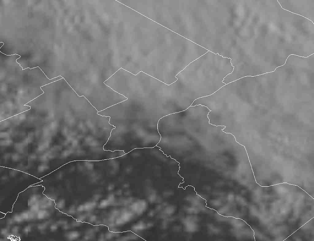
Sun 05:25 PM Forecast Review — An overly optimistic forecast. I can’t blame this on the models. I just bet on the wrong horse (HREF). This is as close as the clearing got to us this afternoon —
Visible Satellite at 4:45 PM
Areas of Chester and Delaware counties had clearing, but I use Blue Bell as the forecast focal point. The clearing may make it a bit further north as low pressure has begun to develop over the Delaware border . Showers and possible thunderstorms still expected later this evening and tonight.
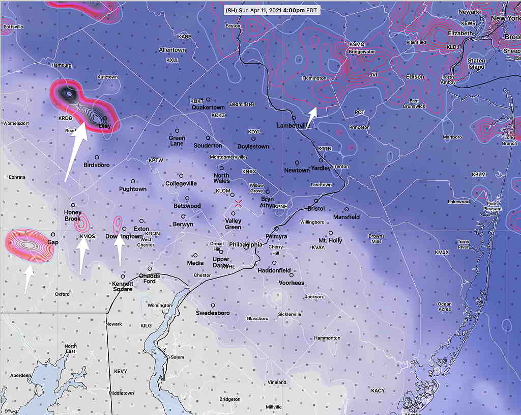
Going with the latest HREF (High Resolution Ensemble Forecast) model forecast.
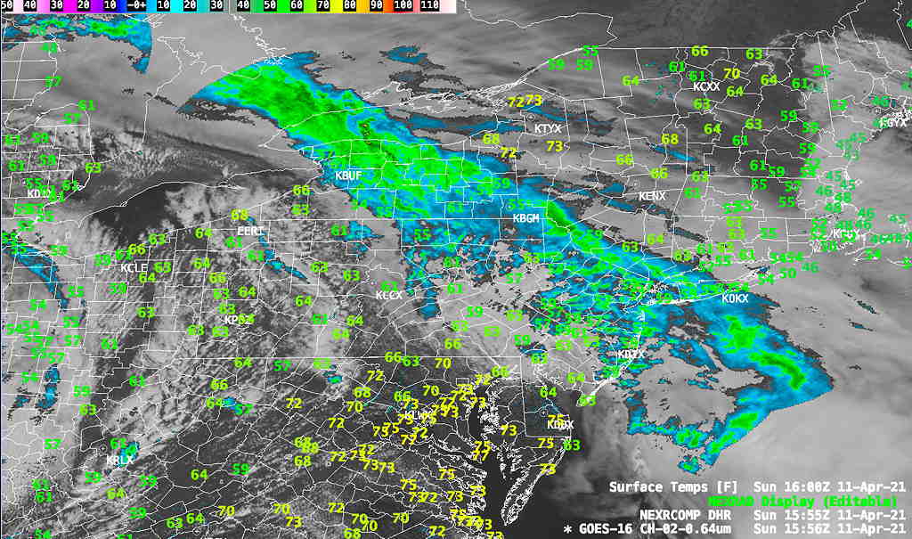
Here are the current conditions:
Current Conditions at noon (Click on image for a larger view.)
HREF forecast: Showers taper off noon- 2 PM. Clouds thin and break for some sun between 3-5 PM.
HREF forecast showing clouds thinning by 3-4 PM with developing areas of vertical motion to our west with residual activity to our far north. (Click on image for a larger view.)
More showers and thunderstorms between 9 and 11 PM