
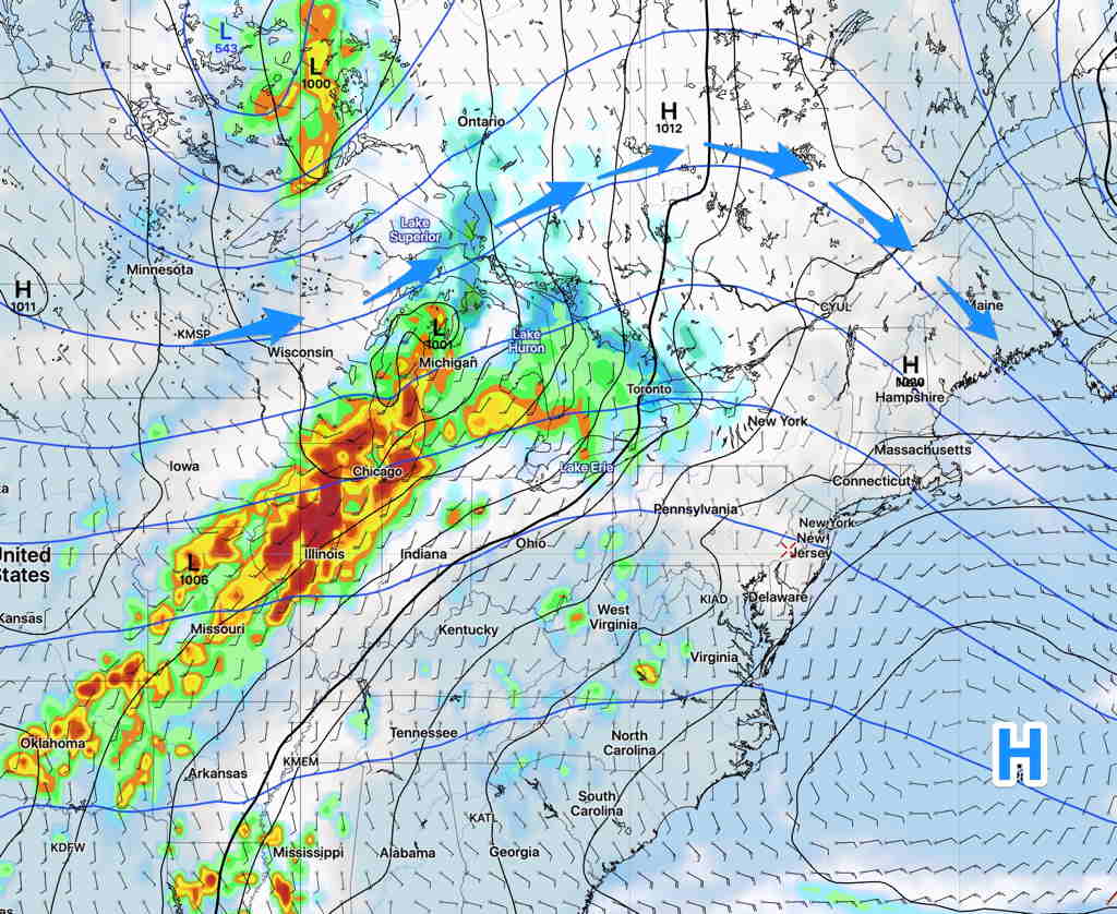
The instability cloudiness and showers we had today will dissipate tonight as cold high pressure builds in for Tuesday behind the departing upper air low.
Tuesday will be
- Sunny with some fair weather clouds
- Unseasonably cool. High temp 57.2º sd 1.6º
- Winds from the NW 7-10 mph, occasional higher gusts.
The anomalous dip in the jet bringing this cool weather will transform to more of a ridge pattern by Thursday and especially Friday.
A Bermuda high will bring much warmer temperatures. Friday’s high temps will likely approach 81º (model blend), but some thunderstorms later on Friday will move in ahead of another cold front—
The extended range models show a much more seasonable temperature pattern developing after this week.