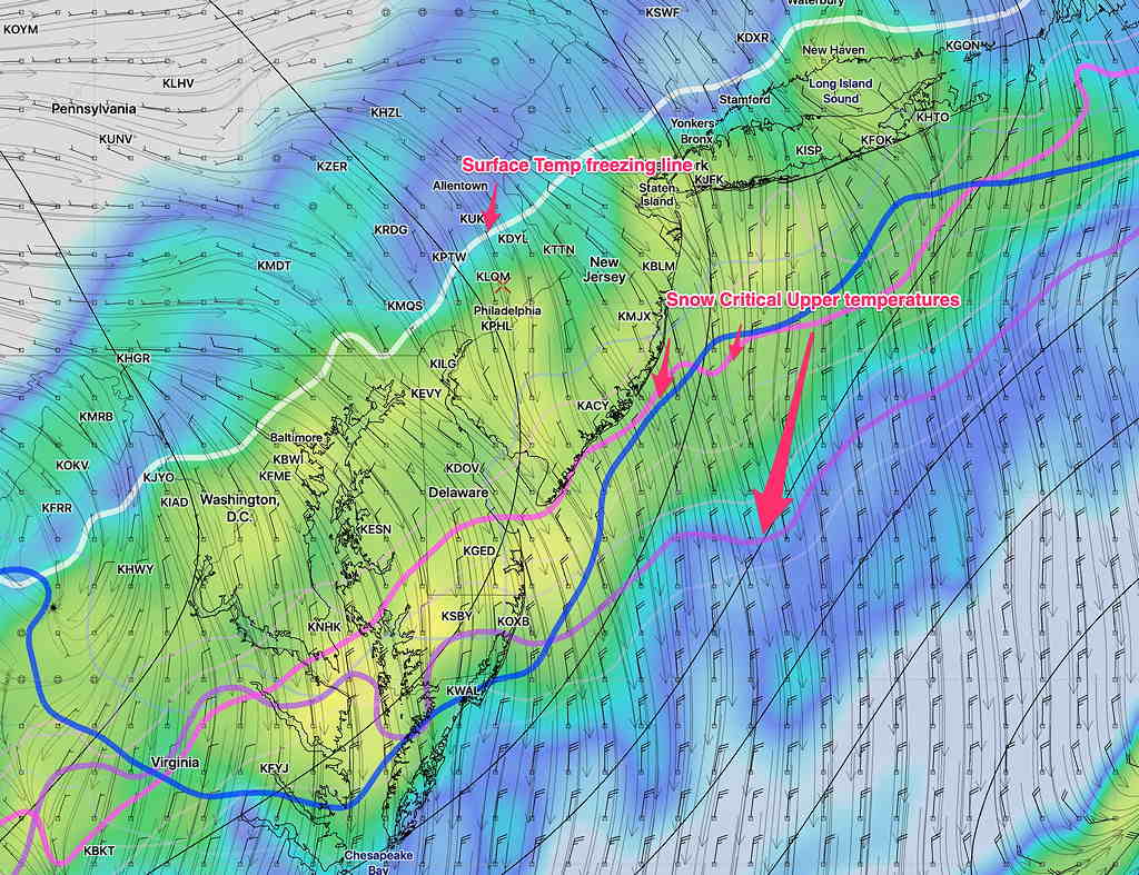
[su_note note_color=”#defcdc”]Update Tues 9:45PM: The latest NAM data suggests that a wave develops along the front, increasing the precipitation and delaying the end of the snow.
Current QPF values have increased to 0.35 inches water equivalent during a time when the precipitation type will be snow. Using my own method and accounting for melting and warmer ground temps, it seems that about 2 inches of snow are possible. Snow flurries and showers may linger until 10-11AM.
10 :15 PM Update: The NAM built-in snow algorithms show less than 1 inch of snow. The latest WRF models are closer to the NAM, so my 2 inch total isn’t supported by the built in algorithms. We’ll see what happens.
10:45 PM Update: Latest GFS doesn’t show the enhanced precipitation nor does it delay the snow ending. It maintains a snow total of about 1/2 inch. [/su_note]
I’ve had a chance to review the afternoon model runs. Both the GFS and the NAM still predict just a coating (0.30 and 0.50) of snow falling after midnight and ending about 7-9 AM, based on their built-in snow algorithms.
As mentioned in my previous post, using my old, time-tested (but not always accurate) NAM FOUS data technique, I’m coming up with 1.5 to 2 inches of snow.
I’ve never been a big fan of the built-in snow depth algorithms.
Interestingly, this afternoon’s Canadian High Resolution Model (HRDPS) has been consistently predicting ~1.6 inches of snow.
The latest RAP (Rapid Refresh) just available shows 1 inch of snow and ends with light flurries about 9 AM.
So it will be interesting to see how things turn out. I’ll be looking at the NAM data which comes out about 9:15 and the NAM FOUS data which becomes available about 9:35 PM tonight. Check back later for an update.

