
[su_note note_color=”#defcdc”]Update Mon 10:15 pm: Tonight’s NAM, NAM Nest and the two WRF models have become available. I’m staying with the 1 maybe 2 inch snow totals, even though the built in snow algorithms are showing about 0.5 inches of wet snow. Snow ends 8-9 Am Wednesday. We’ll have a better handle tomorrow.
Update Mon 10:50 pm: Tonight’s GFS has also gone into the 0.5 inch snow accumulation range. So the trend is for less snow, less than an inch.
[/su_note]
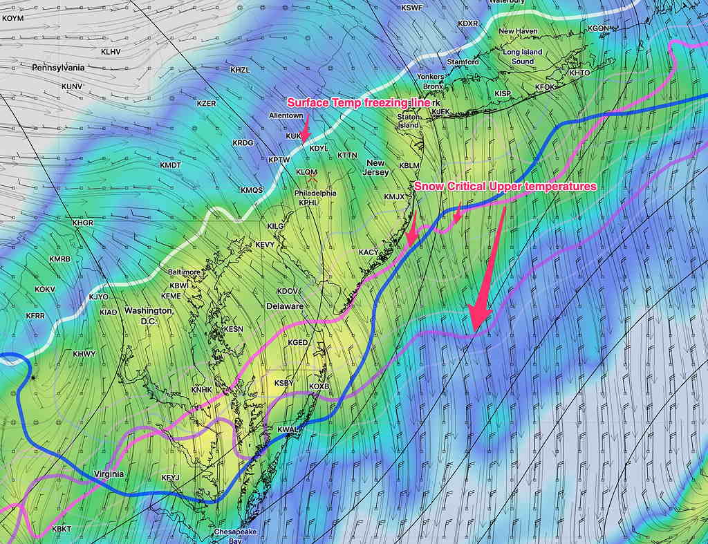
The models are in fairly good agreement that rain will change to snow sometime after midnight Tuesday and light wet snow will be falling until sometime between 7 and 9 AM Wednesday morning.
The NAM built-in snow algorithms have only a half inch of snow accumulating, although if I use my old NAM FOUS data technique, it’s probably about 1.5 inches.
The GFS, Canadian High Resolution and the European are in the 1.3-2.0 inch range of accumulation using their built-in algorithms.
We know that these sort of post frontal passage scenarios often change, usually in the direction of less snow.
Tonight’s model runs will fall into the range of the 36-48 hour short range higher resolution models, and I’ll do a quick update later.
After the snow stops, it will become sunny by Wednesday afternoon, but fairly cold. Treated roadways will be clear by afternoon.