The heavy rain potential will continue with us today, Thursday, for another 24-30 hours, as deep low pressure and deep moisture, (precipitable water values as high as 2.3 inches), moderate to high shear values and high thermodynamic instability values slowly exits late Friday morning.
Today’s high resolution models show several rounds of heavy rain with some scattered heavy rain early afternoon, then the heaviest rain around 4-6 PM and another heavy round about 10-11 PM. And yet another Friday morning! Any sun we get today will add fuel to the fire. The most likely severe activity looks to be north into NYC.
Finally for the weekend…
Saturday and Sunday appear to be fine weather days for the first few days of [astronomical] summer. Sunny skies both days with highs on Saturday 78-81 and Sunday 80-83.
[su_note note_color=”#d9f2da”]Latest models from this morning show only average instability and thermodynamics parameters. Severe thunderstorms are not likely in our neck of the woods, although heavy rain is always possible. [/su_note]
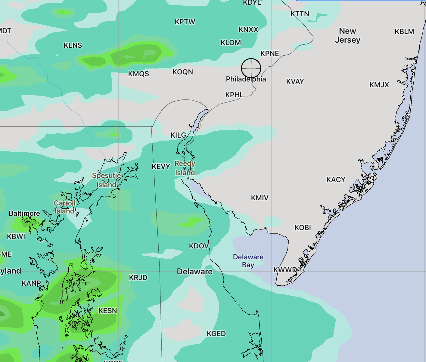
HIREF (High Resolution Ensemble Forecast) about 5 PM
Sunday will have sun, and periods of clouds at times. This morning’s forecast will be based on the HIREF, an “ensemble model” based on the two versions of the WRF that statistically combines the WRF model versions and includes the NAM-NEST model.
High temperature today about 86 with the increased amount of sunshine. More humid also, with dew points in the mid 60s.
Very widely scattered showers and thunderstorms about 2 PM.
The main thunderstorm activity moves in from the west about 4:30-6:00 PM and lingers into the evening hours. (See above graphic)
The latest data has come in. Sunday will have periods of clouds and sun at times. The WRF model has a high temperature of 86-88 with the increased sunshine forecast. It will be more humid.
There’s an increased chance of scattered showers/thunderstorms about 2 PM, then a lull.
Another increase in showers and thunderstorms about 6 PM as a weak front moves through. These storms will be scattered.
The front is expected to stall just south of us. One version of the WRF (there are two versions) shows another round of showers and thunderstorms again about midnight.