The forecast for the weekend has already changed a bit from my “forecast outlook” of yesterday.
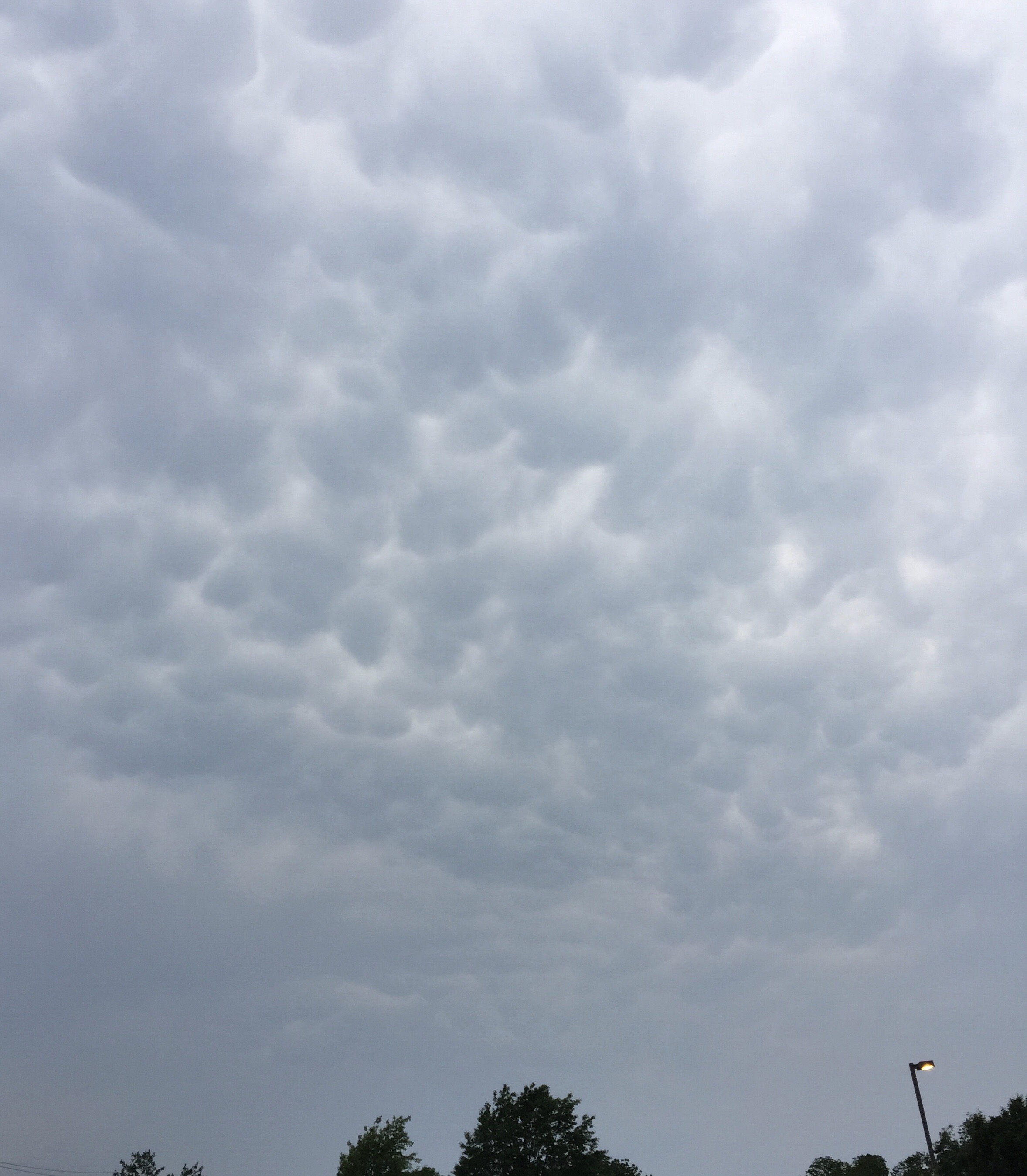
Low pressure that moved to our south today (Friday) had brought some unexpected cloudiness at times during Friday afternoon.
This low pressure system is expected to consolidate off the coast and will result in a general easterly flow on Saturday, keeping temperatures a bit cooler than previously forecast as a result of cloud cover, especially in NJ.
While tonight’s major models are not yet available, the short range models just available show a fair amount of cloudiness during the morning and early afternoon on Saturday. The GFS was showing a high 87-89, but the NAM and latest short range models show much lower highs of 81-84.
[su_note note_color=”#d9f2da”]11 PM Tonight’s NAM has much more sunshine on Saturday than the earlier short range models.[/su_note]
A weak wave ahead of an approaching cold front moves through around midnight Saturday with some showers and possible thunderstorms, although the latest trends show the showers falling apart before arriving in Philadelphia.
For Sunday, a cold front will approach during the day, ahead of a significant amplification in the jet stream. Mostly sunny early with cloudiness moving in during the early to mid afternoon. Current models show showers and thunderstorms about 3-6 PM Sunday. High 80-84.